Thai Met Dept Warns 18 Provinces of Heavy Rain, Flash Floods
The Thai Meteorological Department has issued heavy rain warnings for 18 southern provinces, cautioning against flash floods, forest runoff, and high waves up to 3 meters in the Gulf of Thailand and Andaman Sea. The alert covers November 14 and extends through November 18-22, with continuous downpours expected. Meanwhile, upper Thailand will see rising temperatures but cool mornings with fog, followed by a cold spell with strong winds later in the week.
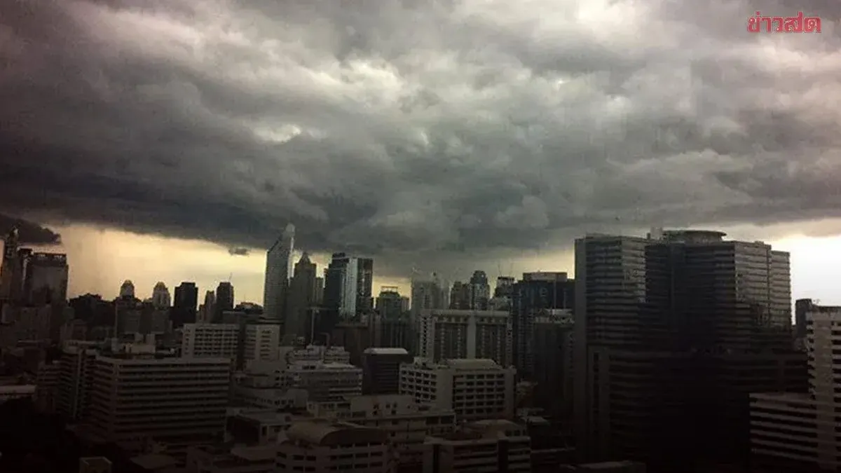
The Thai Meteorological Department forecasts weather for the next 24 hours from 06:00 today to 06:00 tomorrow. Southern Thailand continues to experience heavy rain in some areas due to a moderate northeast monsoon covering the Gulf of Thailand and the South. Residents in the South are warned of dangers from heavy to very heavy rain and accumulated rainfall, which may cause flash floods and forest runoff, particularly in foothills near waterways and low-lying areas. Winds in the lower Gulf are moderate with waves about 2 meters high, exceeding 2 meters in thunderstorms. Mariners in the Gulf of Thailand and Andaman Sea should check routes and sail with caution.
For upper Thailand, temperatures are rising with rain in some areas, but cool mornings with fog remain in the North and Northeast due to a moderate high-pressure system or cold air mass covering the North, Northeast, and South China Sea. Meanwhile, easterly and southeasterly winds bring moisture to the lower Northeast, East, and lower Central regions. People in upper Thailand should look after their health due to changing weather, and farmers should prepare to prevent damage to agricultural crops.
Additionally, from Nov 18-22, the South will have continuous rain with heavy rain in many areas and very heavy rain in some places. Residents should beware of dangers from continuous accumulated rain, which may cause flash floods and forest runoff, especially in foothills near waterways and low-lying areas. Winds and waves in the Gulf of Thailand and Andaman Sea will strengthen, with lower Gulf waves around 2 meters and over 3 meters in thunderstorms. Mariners should check routes, sail cautiously, and avoid areas with thunderstorms. For upper Thailand, there will be thunderstorms and gusty winds in some areas initially, then the weather will turn colder with strong winds. People should take care of their health due to changing weather, and farmers should protect against damage to crops.
Today's weather forecast for Thailand from 06:00 today to 06:00 tomorrow:
North: Cool with morning fog, rain in some areas. Low 16-22°C, high 28-34°C. Hilltops cold at 10-15°C. Northeasterly winds 10-20 km/h.
Northeast: Cool with morning fog, temperatures rising 1-2°C, rain in some areas. Low 19-22°C, high 31-33°C. Hilltops cool to cold at 11-17°C. Northeasterly winds 10-20 km/h.
Central: Mostly cloudy, temperatures rising 1-2°C, rain in some areas. Low 22-25°C, high 31-34°C. Easterly winds 10-20 km/h.
East: Mostly cloudy, temperatures rising 1-2°C, rain in 10% of areas, mainly in Nakhon Nayok, Chonburi, Rayong, Chanthaburi, and Trat. Low 23-26°C, high 32-34°C. Easterly winds 10-20 km/h.