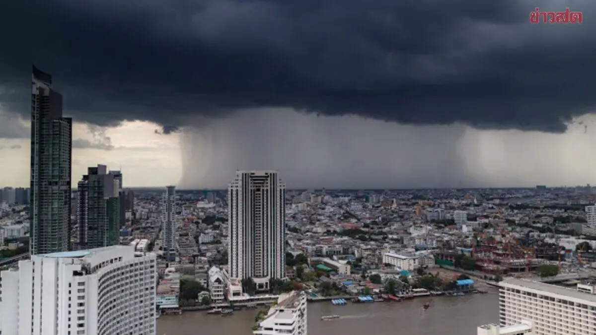
Thailand's meteorological department warns of heavy rain across 30 provinces over the next 24 hours due to an active monsoon trough, with flash floods expected in foothill and low-lying areas. The upper Andaman Sea will see rough conditions
The Thai Meteorological Department on July 27, 2025, forecasts heavy rain will persist over the next 24 hours across the northern, northeastern, eastern, and western southern regions due to a monsoon trough passing through upper northern Thailand and northern Laos, combined with a moderately strengthening southwest monsoon covering the Andaman Sea, Thailand, and the Gulf of Thailand.
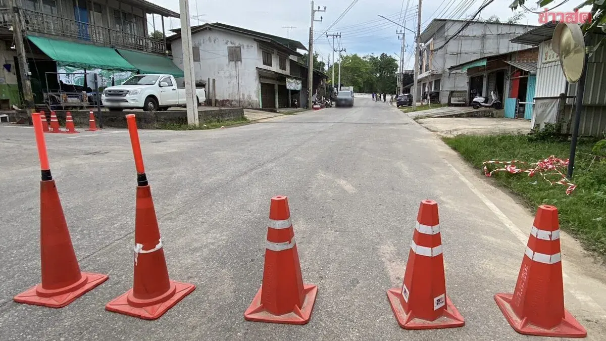
The public is advised to be cautious of heavy rainfall and accumulated precipitation, which may cause flash floods and flash flows, particularly in foothill areas near water channels and low-lying zones.
Wind and wave conditions in the upper Andaman Sea will be fairly rough, with waves 2–3 meters high, exceeding 3 meters in thunderstorm areas. The lower Andaman and upper Gulf of Thailand will see waves around 2 meters, exceeding 2 meters where thunderstorms occur. Boat operators should navigate carefully and avoid thunderstorm zones; small vessels in the upper Andaman should remain ashore.
Regional forecasts from 06:00 today to 06:00 tomorrow:
**North:** Thunderstorms in 70% of areas with heavy rain in some zones, particularly in Mae Hong Son, Chiang Rai, Tak, Nan, Phichit, and Phetchabun. Low 22–27°C, high 30–36°C. Southwest winds 10–20 kph.
**Northeast:** Thunderstorms in 70% of areas with heavy rain in spots around Nong Khai, Bueng Kan, Udon Thani, Sakon Nakhon, Nakhon Phanom, Mukdahan, Yasothon, Amnat Charoen, Sisaket, and Ubon Ratchathani. Low 23–25°C, high 31–35°C. Southwest winds 10–20 kph.
**Central:** Thunderstorms in 40% of areas, mainly in Uthai Thani, Chai Nat, Ayutthaya, Kanchanaburi, and Ratchaburi. Low 24–26°C, high 34–37°C. Southwest winds 10–25 kph.
**East:** Thunderstorms in 70% of areas with heavy rain in places near Chanthaburi and Trat. Low 23–27°C, high 30–35°C. Southwest winds 20–35 kph. Sea waves around 2 meters, exceeding 2 meters in thunderstorms.
**South (East Coast):** Thunderstorms in 40% of areas, chiefly around Phetchaburi, Prachuap Khiri Khan, Chumphon, and Surat Thani. Low 23–26°C, high 32–35°C. Southwest winds 15–35 kph. Waves around 1 meter nearshore, 1–2 meters offshore, exceeding 2 meters in thunderstorms.
**South (West Coast):** Thunderstorms in 60% of areas with heavy rain in some zones near Ranong and Phang Nga. Low 22–26°C, high 29–34°C. From Phang Nga northward: southwest winds 20–40 kph, waves 2–3 meters, exceeding 3 meters in thunderstorms. From Phuket southward: southwest winds 20–35 kph, waves around 2 meters, exceeding 2 meters in storms.
**Bangkok and Vicinity:** Thunderstorms in 40% of areas. Low 26–28°C, high 33–36°C.