Heavy Rain Warning Across Four Thailand Regions
Thailand's meteorological department issued heavy rain warnings across four regions on August 13 due to a monsoon trough and strong southwest monsoon, with risks of flooding and flash floods in low-lying areas and sloping terrain. Waves in
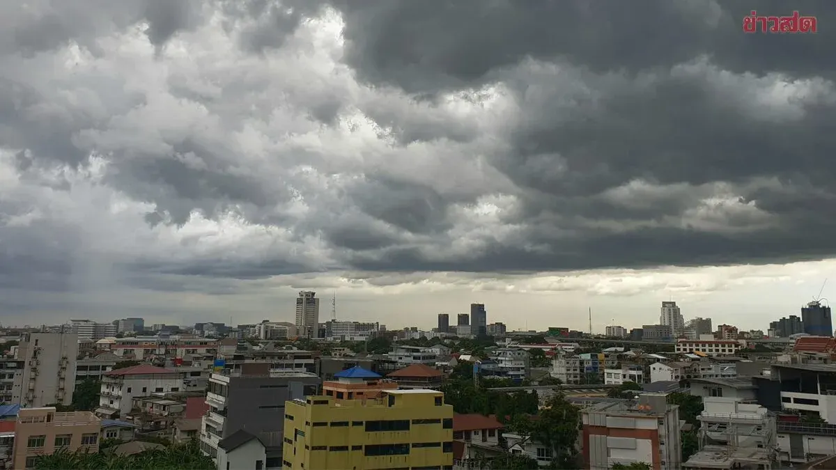
On August 13, 2025, the Thai Meteorological Department issued a 24-hour weather forecast warning of heavy rainfall in the North, Upper Northeast, Central, and Eastern regions due to a monsoon trough passing through Myanmar, northern Laos, and northern Vietnam, combined with a strong southwest monsoon affecting the Andaman Sea, Thailand, and the Gulf of Thailand. Residents are advised to be alert to dangers from heavy rain and accumulated rainfall that may cause sudden flooding and flash floods, particularly in sloping terrain near water channels and low-lying areas, as well as riverbank overflow in the Northeast.
Waves in the upper Andaman Sea are expected to be moderately strong, reaching 2–3 meters, with heights exceeding 3 meters in thunderstorm areas. Fishermen are urged to navigate with caution and avoid thunderstorm zones. Small boats in the upper Andaman Sea should remain ashore.
Detailed forecast for 18:00 today to 18:00 tomorrow:
North: Thunderstorms in 60% of the area with heavy rain in some places, particularly in Mae Hong Son, Nan, and Tak provinces. Low 23–27°C, high 32–35°C. Southwest wind 10–20 kph.
Upper Northeast: Thunderstorms in 60% of the area with heavy rain in some places, particularly in Bueng Kan, Sakon Nakhon, Nakhon Phanom, and Mukdahan provinces. Low 24–26°C, high 33–35°C. Southwest wind 10–20 kph.
Central: Thunderstorms in 40% of the area with heavy rain in some places, particularly in Saraburi and Kanchanaburi provinces. Low 24–27°C, high 33–35°C. Southwest wind 10–25 kph.
East: Thunderstorms in 60% of the area with heavy rain in some places, particularly in Nakhon Nayok, Prachuap Khiri Khan, Chanthaburi, and Trat provinces. Low 24–28°C, high 31–35°C. Southwest wind 20–35 kph. Sea waves approximately 2 meters, exceeding 2 meters in thunderstorm areas.
South (East Coast): Thunderstorms in 40% of the area, mainly in Chumphon, Surat Thani, and Nakhon Si Thammarat provinces. Low 23–26°C, high 33–36°C. Southwest wind 20–35 kph. Sea waves 1–2 meters near shore, approximately 2 meters offshore, and exceeding 2 meters in thunderstorm zones.
South (West Coast): Thunderstorms in 60% of the area, mainly in Ranong, Phang Nga, and Phuket provinces. Low 23–26°C, high 32–35°C. From Phang Nga northward: southwest wind 20–40 kph, sea waves 2–3 meters, exceeding 3 meters in thunderstorm areas. From Phuket southward: southwest wind 15–35 kph, sea waves 1–2 meters, exceeding 2 meters in thunderstorm areas.
Bangkok and Vicinity: Thunderstorms in 60% of the area with heavy rain in some places. Low 26–27°C, high 34–35°C. Southwest wind 10–25 kph.