Meteorological Dept Warns Heavy Rain, Flood Risk in 36 Provinces
The Meteorological Department warns of heavy to very heavy rain across 36 provinces, with the South facing the highest flash flood and mudslide risk through Nov. 13
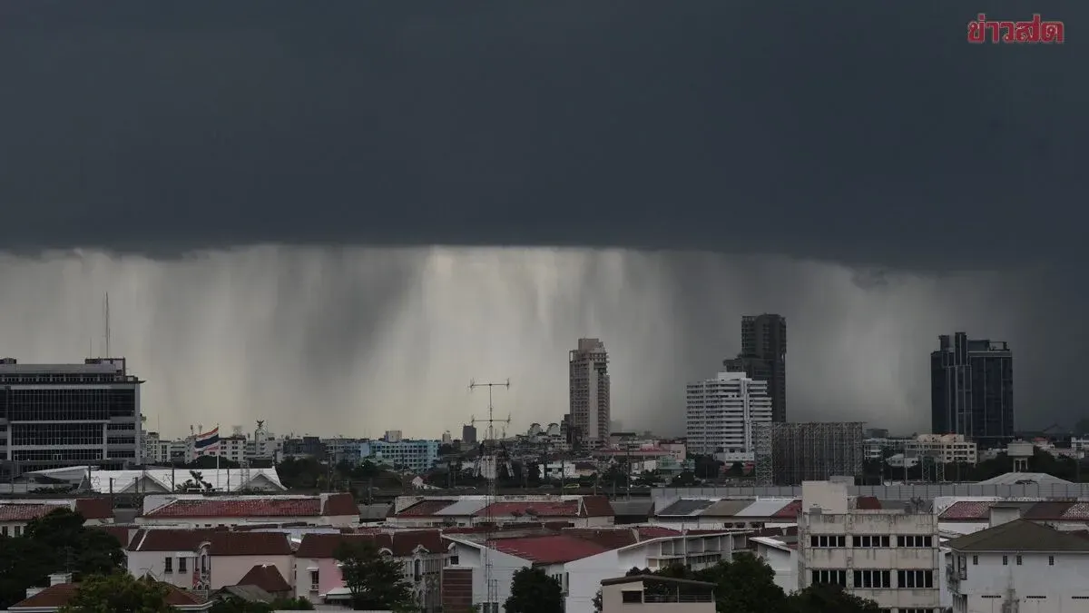
The Thai Meteorological Department forecasts weather for Thailand from 06:00 today to 06:00 tomorrow. The South will experience increased rain with heavy to very heavy downpours in some areas, while the upper country sees less rain but still isolated thunderstorms, mainly in western parts of the North and Central regions. People in affected areas should beware of thunderstorms, heavy to very heavy rain, and accumulated rainfall that could trigger flash floods and mudslides, particularly on mountain foothills near waterways and in low-lying basins. This pattern is caused by a high-pressure ridge or cool air mass from China covering upper Thailand and the South China Sea, strengthening easterly winds over the Gulf of Thailand, the South, and the Andaman Sea. In the Andaman Sea and Gulf of Thailand, waves will exceed two meters in thunderstorm areas; mariners should proceed with caution and avoid sailing in stormy sectors. From November 8 to 13, the South will continue to see heavy rain in many areas with very heavy rain in some places as easterly winds remain strong.
Regional details: - North: Thunderstorms in 40% of the area, mainly Mae Hong Son, Chiang Mai, Chiang Rai, Lamphun, Lampang, Tak, and Kamphaeng Phet. Low 21-24°C, high 30-34°C. Easterly winds 10-20 km/h. - Northeast: Thunderstorms in 10% of the area, mainly Loei, Nong Bua Lamphu, Chaiyaphum, and Nakhon Ratchasima. Low 21-24°C, high 33-35°C. Northeasterly winds 10-30 km/h. - Central: Thunderstorms in 30% of the area, mainly Nakhon Sawan, Uthai Thani, Kanchanaburi, Ratchaburi, Nakhon Pathom, Samut Sakhon, and Samut Songkhram. Low 21-24°C, high 32-35°C. Easterly winds 10-20 km/h. - East: Thunderstorms in 30% of the area, mainly Chachoengsao, Chon Buri, Rayong, Chanthaburi, and Trat. Low 22-25°C, high 33-35°C. Northeasterly winds 15-30 km/h. Sea waves below 1 meter, about 1 meter offshore, over 2 meters in thunderstorms. - South (east coast): Thunderstorms in 70% of the area with heavy rain in some places, covering Prachuap Khiri Khan, Chumphon, Surat Thani, Nakhon Si Thammarat, Phatthalung, Yala, and Narathiwat. Very heavy rain in parts of Nakhon Si Thammarat, Songkhla, and Pattani. Low 22-25°C, high 30-33°C. From Surat Thani northward: northeasterly winds 15-30 km/h, waves about 1 meter, over 2 meters in thunderstorms. From Nakhon Si Thammarat southward: easterly winds 15-35 km/h, waves 1-2 meters, over 2 meters in thunderstorms. - South (west coast): Thunderstorms in 70% of the area with heavy rain in some places, covering Trang and Satun. Low 23-26°C, high 31-34°C. Easterly winds 15-35 km/h, waves 1-2 meters, over 2 meters in thunderstorms.