Minister Opens Doi Phu Kha Emergency Shelter, Deploys Helicopters
Helicopters deployed emergency supplies to flood-isolated communities in Nan Province's Doi Phu Kha area after roads and bridges were damaged, with an emergency shelter opened to coordinate relief efforts.

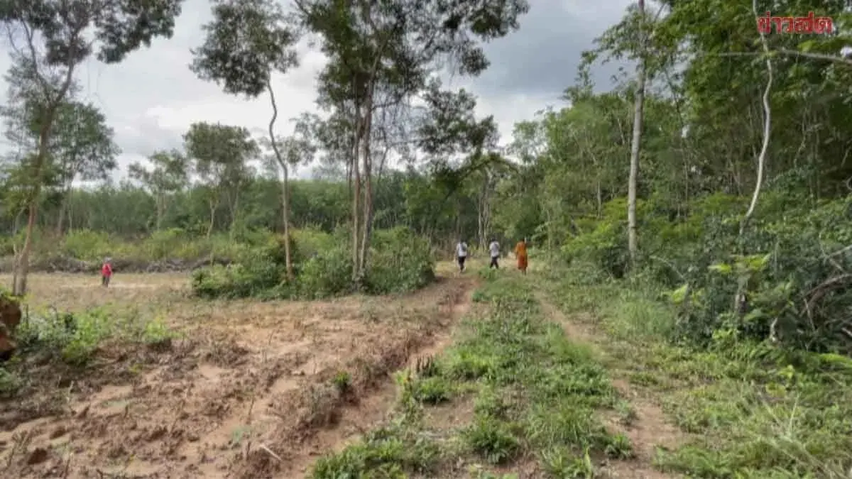
On August 21, 2025, Natural Resources and Environment Minister Suchart Chomklin instructed ministry agencies to accelerate aid to people affected by flooding in Nan Province, particularly in the Doi Phu Kha area where multiple communities are isolated due to damaged roads and bridges. An emergency shelter has been opened at Doi Phu Kha National Park to receive affected residents and coordinate urgent relief efforts.
Floodwaters have made several transport routes impassable, and temporary bailey bridges have not yet been installed. Ground vehicle assistance is therefore limited, prompting the ministry to coordinate with Nan Province and related foundations to deliver food, drinking water, and essential supplies to stranded communities.
Minister Suchart emphasized that the ministry's strength lies in its capacity and equipment to reach areas inaccessible by ground transport, particularly ministry helicopters capable of rapidly delivering food, water, and survival kits to remote or cut-off zones. "The priority now is getting aid to people as quickly as possible," he said. "Some areas cannot be reached by vehicles, but our helicopters can support the mission and deliver essentials, which is a key strength of the ministry in handling emergencies."
Dr. Raviwan Phurideach, the ministry's permanent secretary, reported that on August 21, the Northern Regional Operations Center coordinated with Nan's Natural Resources and Environment Office to deploy two ministry helicopters (numbered 1117 and 5120) carrying supplies to two villages in Pua District—Ban Nam Khwang and Ban Pha Wiang—that have been cut off by road damage. The mission includes 600 boxed meals and 80 survival kits, with flights scheduled for 3 p.m. and 5 p.m., and a third flight planned for the morning of August 22.
Minister Suchart also emphasized the use of satellite imagery technology from GISTDA to support situation management. Real-time satellite imagery allows officials to assess ground conditions and plan routes and aid distribution points efficiently. The ministry is leveraging both personnel and helicopter resources, supported by satellite data, to respond effectively to the emergency.