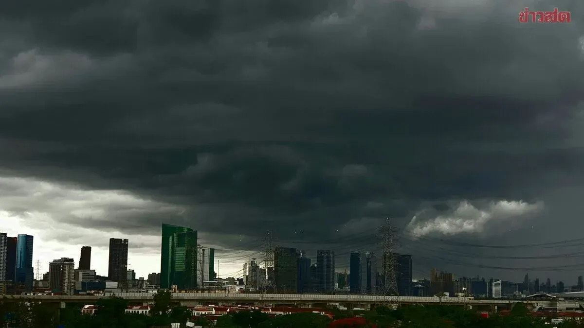
Heavy rain will persist across northeastern and eastern Thailand over the next 24 hours due to southwest monsoon winds, with flooding risks in foothill and low-lying areas. Bangkok faces 60% thunderstorm coverage with temperatures reaching
The Meteorological Department forecasts for the next 24 hours that rainfall across Thailand will decrease, though heavy rain will persist in parts of the northeastern and eastern regions due to moderate southwest monsoon winds covering the Andaman Sea, Thailand, and the Gulf of Thailand. A low-pressure system sits over northern Vietnam.
Residents across Thailand's upper regions should be alert to dangers from heavy and accumulated rainfall, which may trigger sudden flooding and flash floods, especially in foothill areas near water channels and low-lying zones.
Wave conditions in the upper Andaman Sea and upper Gulf of Thailand are moderate, with waves 1-2 meters high. The lower Andaman Sea has waves around 1 meter, but thunderstorm areas may see waves exceeding 2 meters. Fishermen should exercise caution and avoid thunderstorm zones.
**NORTH:** 40% thunderstorm coverage, mainly in Mae Hong Son, Chiang Mai, Chiang Rai, Tak, Phayao, Nan, Phitsanulok, and Phetchabun. Low 23-25°C, high 31-34°C. Southwest winds 10-20 km/h.
**NORTHEAST:** 40% thunderstorm coverage with heavy rain in some areas, particularly Bueng Kan, Sakon Nakhon, and Nakhon Phanom. Low 23-26°C, high 32-36°C. Southwest winds 10-20 km/h.
**CENTRAL:** 40% thunderstorm coverage, mainly in Ayutthaya, Saraburi, Kanchanaburi, Ratchaburi, Nakhon Pathom, Samut Songkhram, and Samut Sakhon. Low 23-26°C, high 34-35°C. Southwest winds 10-20 km/h.
**EAST:** 60% thunderstorm coverage with heavy rain in some areas around Nakhon Nayok, Prachuap Khiri Khan, Chanthaburi, and Trat. Low 22-28°C, high 32-34°C. Southwest winds 15-35 km/h. Sea waves 1-2 meters, exceeding 2 meters in thunderstorm areas.
**SOUTH (East Coast):** 30% thunderstorm coverage, mainly in Chumphon, Surat Thani, Nakhon Si Thammarat, Pattani, Yala, and Narathiwat. Low 23-25°C, high 34-36°C. Southwest winds 15-30 km/h. Sea waves around 1 meter offshore, exceeding 1 meter near shore, and exceeding 2 meters in thunderstorm areas.
**SOUTH (West Coast):** 30% thunderstorm coverage, mainly in Ranong, Phang Nga, Trang, and Satun. Low 23-26°C, high 33-35°C. From Phang Nga northward: Southwest winds 15-35 km/h, waves 1-2 meters, exceeding 2 meters in thunderstorm areas. From Phuket southward: Southwest winds 15-30 km/h, waves around 1 meter, exceeding 2 meters in thunderstorm areas.
**BANGKOK AND VICINITY:** 60% thunderstorm coverage. Low 26-28°C, high 33-34°C. Southwest winds 10-20 km/h.