Government Launches Flood and Drought Risk Maps for Central Thailand
Thailand's government is launching real-time flood and drought risk maps for the central region, which spans 17 provinces and Bangkok and serves as a critical hub for agriculture, industry, and tourism. The initiative consolidates disaster
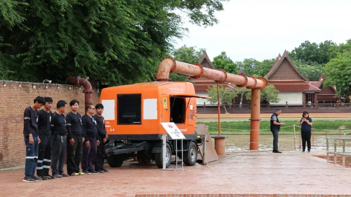
Deputy Prime Minister and Finance Minister Anutin Charnvirakul, chairing the central region flood and drought prevention committee, announced after their first 2569 meeting in Ayutthaya that the government is accelerating unified disaster management by establishing five regional committees covering the north, northeast, central, east, and southern regions. This consolidation aims to centralize command, eliminate redundancy, and respond more quickly to crises.
The central region is critical because it is low-lying terrain that receives water from the north before flowing to the sea, and anchors major agricultural, industrial, community, and tourism sectors. Deputy PM Anutin ordered the creation of real-time flood and drought risk maps integrating data from GISTDA, the National Water Resources Office, the Meteorological Department, the Royal Irrigation Department, and the Department of Disaster Prevention and Mitigation. Provinces will use checklists to prepare in advance by inspecting water gates, installing pumps, clearing waterway obstructions, and preparing water-receiving areas. During emergencies, provinces must establish command centers coordinating military, police, civil, and local forces to prioritize vulnerable populations, while hospitals maintain medical readiness 24/7 and economic and tourism zones implement strict protective measures.
Management of the central region covers 17 provinces and Bangkok, with each watershed supervisor closely monitoring conditions and ensuring all provinces communicate accurate, timely water data through all channels including Cell Broadcast, so the public stays informed but calm and can prepare ahead. The Disaster Prevention Department has 155 flood-response machines and 202 drought-response machines ready to deploy immediately, with staff monitoring and alerting around the clock. Risk data shows eight central provinces with very high flood risk affecting 124 villages and 12 provinces with high risk affecting 533 villages, while two provinces face very high drought risk in 66 villages and three provinces in 105 villages.