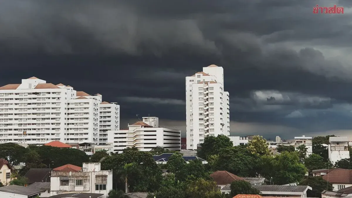
Severe Storms Lash Thailand as Typhoon Bavi Strengthens Monsoons
Thailand's Meteorological Department warns of severe storms and heavy rainfall across southern regions through July 15 as Typhoon Bavi strengthens the southwest monsoon, with waves exceeding 4 meters and flash flood risks in coastal and mou
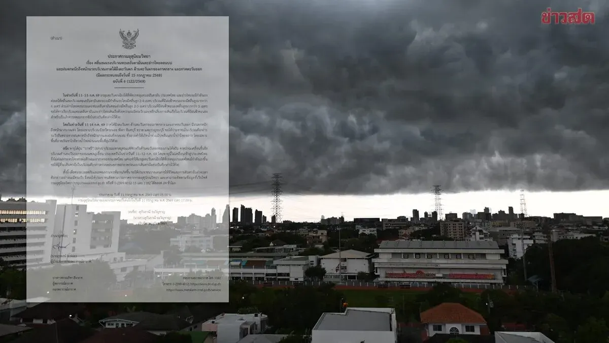
Thailand's Meteorological Department issued its sixth warning on July 11, 2024, regarding strong winds affecting the Andaman Sea and upper Gulf of Thailand, along with heavy to very heavy rainfall across southern Thailand's western coast, western central regions, and the east through July 15. From July 11-15, the southwest monsoon will intensify across the Andaman Sea and Gulf of Thailand, producing waves of 2-4 meters in the upper Andaman Sea, exceeding 4 meters in thunderstorm zones. The upper Gulf and lower Andaman will see 2-3 meter waves, with heights over 3 meters during storms. Fishermen are advised to exercise extreme caution and avoid thunderstorm areas, while small boats should remain ashore. Heavy rainfall is expected in Ranong, Phangnga, Chachoengsao, Trat, and Kanchanaburi provinces during July 11-14, posing risks of flash floods and mountain runoff, particularly in hilly and low-lying areas. Typhoon Bavi, located over the Pacific east of Taiwan, is expected to make landfall in China's Fujian Province on July 11-12 and will not directly impact Thailand, but will strengthen the southwest monsoon affecting the country. The public is urged to monitor weather forecasts, plan activities carefully, and check conditions before traveling. The Meteorological Department will issue its next warning on July 11 at 5:00 p.m. Updates are available at tmd.go.th, 0-2399-4012-13, and 1182 24/7.