Thailand Weather Alert: 25 Provinces Brace for Heavy Downpours
A low-pressure system and southwest monsoon bring heavy rain and thunderstorms to 25 Thai provinces over the next 24 hours, with flash flooding risks in northern and northeastern regions and rough seas affecting the Andaman coast.
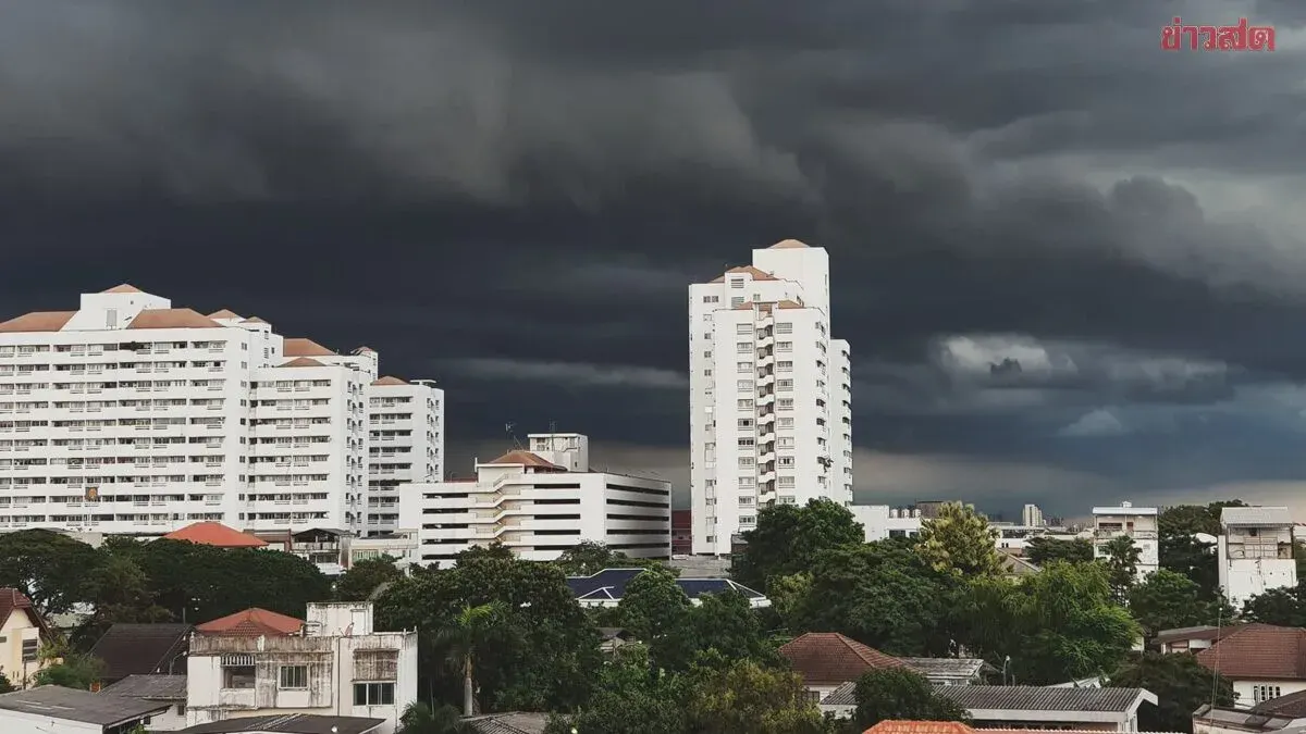
The Thai Meteorological Department forecasts increased rainfall across Thailand over the next 24 hours, with heavy showers in the northern, upper northeastern, and eastern regions due to a low-pressure system over northern Vietnam and strengthening southwest monsoon winds. Northern Thailand including Mae Hong Son, Chiang Mai, Chiang Rai, Phayao, Nan, and Tak provinces will see thunderstorms affecting 60 percent of the area with heavy rain in some locations, with temperatures ranging from 22-32°C. The northeastern region, including Nong Khai, Bueng Kan, Sakon Nakhon, and Nakhon Phanom, will experience similar conditions with temperatures of 23-34°C. Central Thailand, particularly Uthai Thani, Nakhon Sawan, Lopburi, Saraburi, Kanchanaburi, and Ratchaburi, will see thunderstorms affecting 60 percent of areas with highs of 33-36°C. The eastern region, including Chanthaburi and Trat, will have heavy rain in some areas with waves of 2-3 meters, exceeding 3 meters during thunderstorms. Southern Thailand's east coast will see thunderstorms in 30 percent of the area, primarily affecting Prachuap Khiri Khan, Chumphon, Surat Thani, and Nakhon Si Thammarat provinces. The department warns of potential flash flooding and forest runoff, particularly in foothill and low-lying areas. Wave heights in the Andaman Sea are expected to reach 2-4 meters in the upper region and 2-3 meters in the lower region and upper Gulf of Thailand, with higher waves during thunderstorms. Small boats are advised to avoid sailing until July 15. Typhoon Bavi, currently in the Pacific Ocean northeast of Taiwan, is expected to make landfall on China's east coast on July 11-12 and will not affect Thailand.