Heavy Rain Expected Across 33 Thai Provinces This Afternoon
A weak southwest monsoon will bring scattered thunderstorms to 33 Thai provinces today, with waves exceeding 2 meters possible in storm areas; sailors should avoid affected zones.
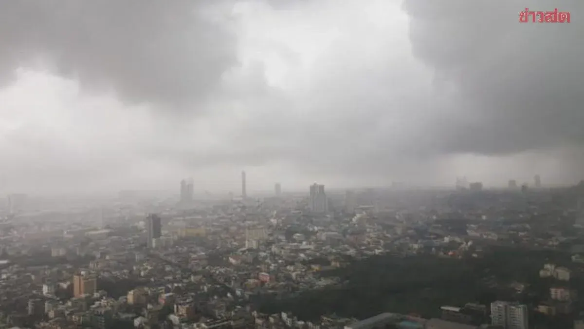
The Thai Meteorological Department forecasts light to moderate rain across Thailand over the next 24 hours due to a weak southwest monsoon system affecting the Andaman Sea, Thailand, and the Gulf of Thailand. Thunderstorm hazards are expected nationwide, and the public is urged to remain vigilant. Wave heights in the upper Andaman Sea and upper Gulf range from 1–2 meters, while the lower Andaman Sea sees approximately 1 meter; thunderstorm areas may experience waves exceeding 2 meters, and sailors are advised to navigate with caution and avoid storm zones.
Regional forecasts show scattered thunderstorms: the North (30% coverage, chiefly in Mae Hong Son, Chiang Mai, Chiang Rai, Phayao, Nan, and Tak); the Northeast (20%, mainly Loei, Nong Khai, Bueng Kan, Sakon Nakhon, Nakhon Phanom, and Ubon Ratchathani); the Central region (10%, mostly Nakhon Sawan, Uthai Thani, Chainat, Kanchanaburi, Ratchaburi, and Nakhon Pathom); the East (20%, chiefly Nakhon Nayok, Rayong, Chanthaburi, and Trat); and the South. Bangkok and its surrounding areas expect 10% thunderstorm coverage mainly between afternoon and evening, with maximum temperatures of 35–37°C.
For the South (East Coast), thunderstorms are forecast at 20% coverage across Nakhon Si Thammarat, Phatthalung, Songkhla, Pattani, Yala, and Narathiwat, with sea waves around 1 meter and higher waves exceeding 2 meters in thunderstorm zones. The South (West Coast) faces 20% thunderstorm coverage in Phuket, Krabi, Trang, and Satun, with maximum temperatures of 32–35°C and similar sea conditions.