Meteorological Dept Warns of Thunderstorms in 40 Provinces
The Thai Meteorological Department has warned of increased thunderstorms and strong winds across 40 provinces, with heavy rain expected in the lower South. Residents are advised to monitor for flash floods, high waves up to three meters in the Gulf of Thailand, and to follow official updates through November 22.
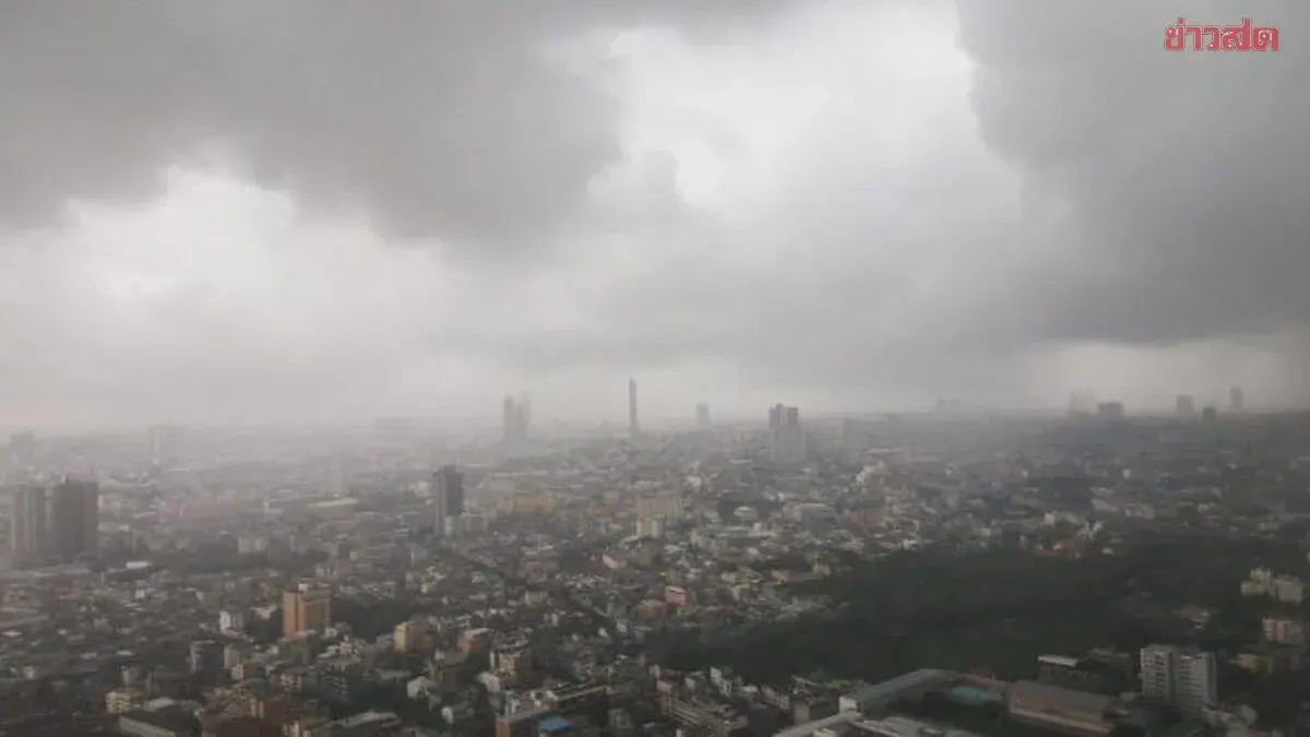
On November 17, 2026, the Thai Meteorological Department forecast weather for the next 24 hours. Upper Thailand will have more thunderstorms with strong gusty winds in places, while the North and upper Northeast stay cool in the mornings. A moderate to fairly strong high-pressure system from China is spreading over upper Thailand and the South China Sea, causing easterly winds to bring moisture across upper Thailand. People should take care of their health due to changing weather, beware of dangers from thunderstorms and strong gusts, and farmers should protect crops from damage. The lower South will have heavy rain in some areas as the moderate northeast monsoon covers the Gulf of Thailand and the South. Southern residents should watch for flash floods and flash runoff, especially in foothills near waterways and low-lying areas. In the Gulf of Thailand and Andaman Sea, waves exceed two meters in thunderstorm areas. Mariners should check routes, proceed with caution, and avoid sailing in thunderstorm zones. From November 18-22, the South will see heavy rain in many areas with very heavy rain in places. Winds and waves in the Gulf and Andaman will strengthen, with waves over three meters in the lower Gulf during thunderstorms. Upper Thailand will have thunderstorms and strong gusts on November 17-18, then turn cooler with strong winds. For safety, the public should follow Meteorological Department announcements continuously. Air quality in upper Thailand is currently good to moderate due to better ventilation and rain in the region. The forecast covers 06:00 today to 06:00 tomorrow. North: Cool mornings, 40% chance of thunderstorms with strong gusts mainly in Chiang Mai, Chiang Rai, Nan, Uttaradit, Tak, Kamphaeng Phet, Phitsanulok, and Phetchabun. Low 18-24°C, high 31-34°C. Hilltops cold at 10-15°C. Easterly winds 10-15 km/h. Northeast: Cool mornings, 30% chance of thunderstorms with strong gusts mainly in Loei, Nong Khai, Bueng Kan, Nong Bua Lamphu, Udon Thani, Sakon Nakhon, Chaiyaphum, Khon Kaen, and Nakhon Ratchasima. Low 21-25°C, high 33-35°C. Hilltops cool to cold at 14-18°C. Southeast winds 10-20 km/h. Central: 40% chance of thunderstorms with strong gusts mainly in Nakhon Sawan, Uthai Thani, Lop Buri, Saraburi, Suphan Buri, Kanchanaburi, Ratchaburi, and Nakhon Pathom. Low 21-25°C, high 33-35°C. Southeast winds 10-20 km/h. East: 40% chance of thunderstorms with strong gusts mainly in Nakhon Nayok, Chachoengsao, Chon Buri, and Rayong.