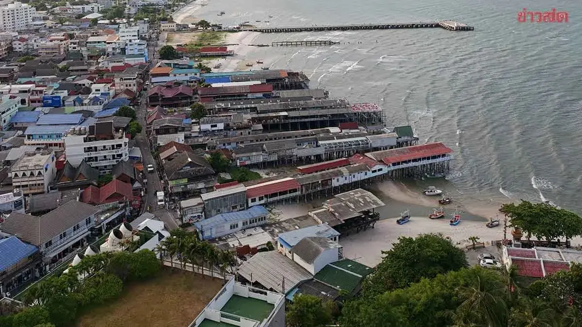
Thailand Warns of Heavy Rain, Strong Winds in 31 Provinces
The Meteorological Department warns of thunderstorms, strong winds and heavy rain across 31 provinces, with risks of flash floods and forest runoff. Seas in the Andaman and Gulf of Thailand may see waves over two metres during thunderstorms. Detailed regional forecasts outline temperature ranges, wind conditions and rain probabilities for the next 24 hours.
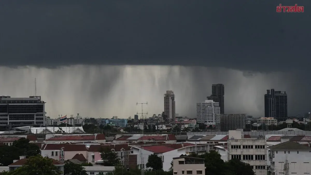
Today's weather: The Meteorological Department announced that 31 provinces will experience thunderstorms, strong winds, and heavy rain covering about 60 percent of the area, with warnings of flash floods and forest runoff.
The 24‑hour forecast issued on 16 October 2069 predicts continued heavy rain in parts of the lower North, Central, East and South. Residents are urged to guard against dangers from thunderstorms, strong winds, heavy rain and accumulated rain that could trigger flash floods and forest runoff, especially on slopes near waterways and low‑lying areas. This is due to a weakening high‑pressure system or cold air mass over the upper North, upper Northeast and the South China Sea, which drives easterly and southeasterly winds carrying moisture from the sea across Thailand and the Gulf of Thailand. In the Andaman Sea and Gulf of Thailand, thunderstorm areas will see waves higher than two metres; mariners should check routes, navigate with caution and avoid sailing in those zones.
From 06:00 today to 06:00 tomorrow, the forecast by region is:
- North: 40 percent chance of thunderstorms, with isolated heavy rain and gusty winds in Tak and Kamphaeng Phet provinces; lows 21‑25 °C, highs 33‑35 °C, east winds 10‑20 km/h. - Northeast: 20 percent chance of thunderstorms with occasional strong winds, mainly around Loei, Chaiyaphum, Nakhon Ratchasima, Buri Ram and Surin; lows 22‑25 °C, highs 34‑35 °C, east winds 10‑25 km/h. - Central: 60 percent chance of thunderstorms, with heavy rain in some areas including Uthai Thani, Chai Nat, Suphan Buri, Phra Nakhon Si Ayutthaya, Kanchanaburi, Ratchaburi, Nakhon Pathom, Samut Songkhram and Samut Sakhon; lows 23‑25 °C, highs 33‑34 °C, southeast winds 10‑20 km/h. - East: 60 percent chance of thunderstorms, with heavy rain in parts of Chon Buri, Rayong, Chanthaburi and Trat; lows 24‑25 °C, highs 33‑35 °C, southeast winds 10‑30 km/h; seas generally under one metre, but over two metres in thunderstorm zones. - South (East Coast): 60 percent chance of thunderstorms, with heavy rain in Chumphon, Surat Thani, Nakhon Si Thammarat, Songkhla, Yala and Narathiwat; lows 23‑24 °C, highs 32‑35 °C, southeast winds 15‑30 km/h; seas about one metre, rising above two metres in thunderstorm areas. - South (West Coast): 60 percent chance of thunderstorms, with heavy rain in Phang Nga, Krabi, Trang and Satun; lows 23‑26 °C, highs 33‑35 °C, east winds 15‑30 km/h; seas about one metre, exceeding two metres where thunderstorms occur. - Bangkok and vicinity: 60 percent chance of thunderstorms with occasional gusty winds; lows 26‑27 °C, highs 33‑35 °C, southeast winds 10‑20 km/h.