Heavy Rain, Strong Winds Warned Across 50 Thai Provinces
The Thai Meteorological Department warns of heavy rain, strong gusty winds and possible lightning in 50 provinces, including Bangkok, raising the risk of flash floods. The unsettled weather is driven by a southwest monsoon over the Andaman Sea and a cold high‑pressure system from China, with sea waves expected to exceed two metres. Mariners and the public are advised to avoid exposed areas, large trees and weak structures, and to stay updated on forecasts.
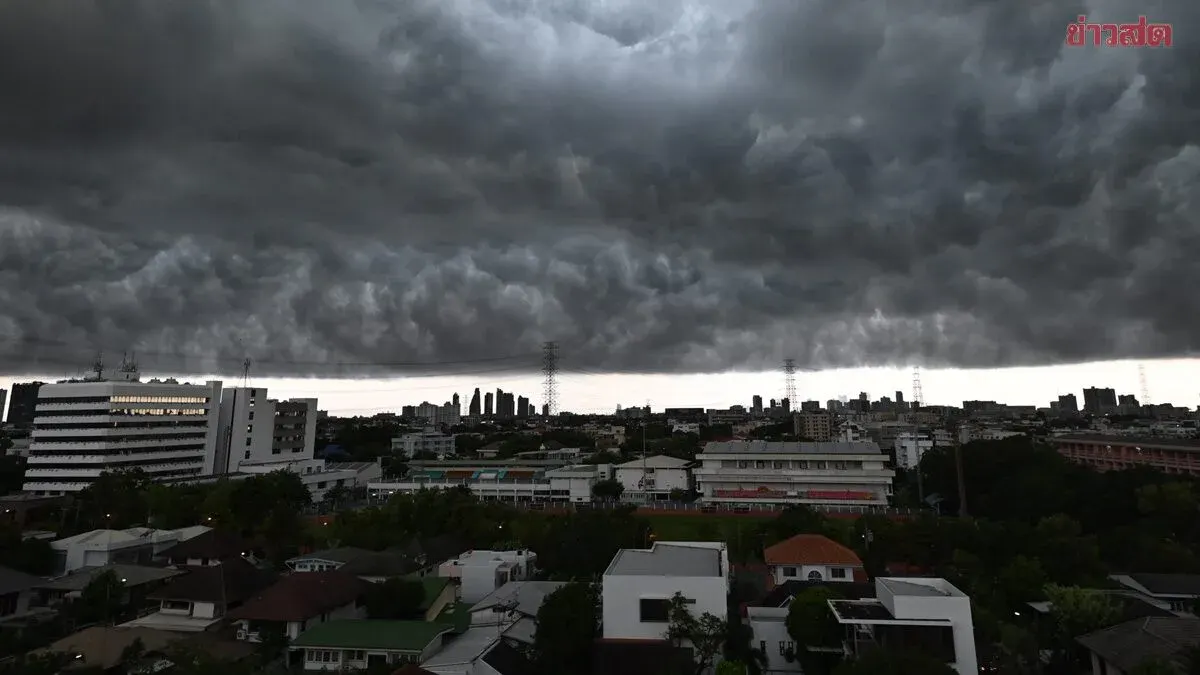
The Thai Meteorological Department’s 24‑hour forecast for October 5, 2025 predicts unstable weather over upper Thailand, with thunderstorms, strong gusty winds, occasional lightning and heavy rain in some spots. In the northern region, provinces such as Chiang Mai, Chiang Rai, Lamphun, Lampang, Phayao, Nan, Phrae, Uttaradit, Phitsanulok, Phichit and Phetchabun are expected to see rain covering 60% of the area, with heavy downpours in Kamphaeng Phet and Sukhothai; temperatures will range from 21‑25°C lows to 32‑36°C highs with southwest winds of 10‑15 km/h. In the northeast, provinces including Loei, Nong Bua Lamphu, Khon Kaen, Chaiyaphum, Nakhon Ratchasima, Buri Ram and Surin will see similar conditions, with lows of 21‑23°C and highs of 33‑35°C and east winds of 10‑20 km/h. The central region, covering Nakhon Sawan, Uthai Thani, Chai Nat, Sing Buri, Ang Thong, Phra Nakhon Si Ayutthaya, Lop Buri, Saraburi, Suphan Buri, Kanchanaburi, Ratchaburi, Nakhon Pathom, Samut Sakhon and Samut Songkhram, will also have 60% coverage of thunderstorms, heavy rain and gusty south winds of 10‑15 km/h, with temperatures between 24‑27°C lows and 34‑36°C highs. The eastern region, comprising Nakhon Nayok, Prachin Buri, Sa Kaeo, Chachoengsao, Chon Buri and Rayong, will experience 60% thunderstorm coverage, heavy rain and south winds of 10‑30 km/h, lows 24‑26°C and highs 32‑35°C. The department warns that the rain and wind could trigger flash floods and river overflows, especially in hilly slopes near waterways and low‑lying areas, and urges people to stay clear of open fields, large trees and unstable billboards. For the Andaman Sea and Gulf of Thailand, thunderstorm areas will generate waves higher than two metres; mariners are advised to check routes, navigate cautiously and avoid sailing through thunderstorms. An extended outlook for October 9‑13 predicts increased rainfall, with heavy to very heavy rain in some places across the eastern, central, Bangkok metropolitan area and southern regions, as another surge of cold high pressure from China strengthens over the northeast and South China Sea, pushing the monsoon ridge southward over the eastern and upper southern parts of the country while a moderate southwest monsoon continues to dominate the Andaman Sea, Thailand and the Gulf of Thailand. The public is urged to follow weather updates closely and remain alert to the dangers of intense to very intense rain and accumulated rainfall that could cause flash floods and flash flooding.