Minister Surasak Leads Chao Phraya Basin Flood Response Drive
Thailand's tourism minister chaired the first meeting of a Chao Phraya River Basin flood and drought prevention subcommittee on August 23, issuing six directives including improved early warning systems, provincial preparedness checks, and
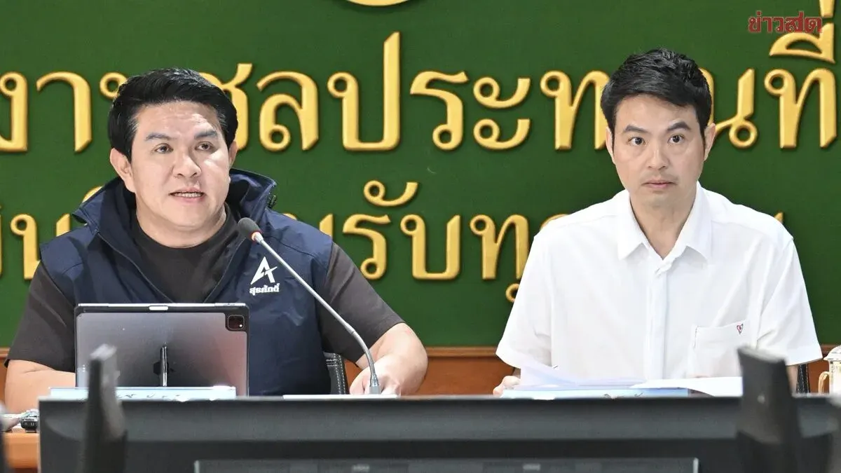
On August 23, 2026, Surasak Phanthcharoenwongkul, Minister of Tourism and Sports and chair of the subcommittee, presided over the first meeting of the Chao Phraya River Basin flood and drought prevention subcommittee at the Irrigation Department office in Saraburi district, Chainat province, held both in person and via Zoom. Deputy Prime Minister Akkanit Nitithanprabasat, who chairs the central region's main committee, had appointed this subcommittee on August 14, 2026, to coordinate comprehensive water management covering prevention, response, recovery, and rehabilitation under the National Disaster Prevention and Mitigation Plan 2021–2027.
Minister Surasak outlined six urgent directives: First, task GISTDA, the Thai Meteorological Department, Irrigation Department, and other agencies to create real-time flood and drought risk maps and improve early warning systems. Second, develop checklists and contingency plans for provincial governors to monitor preparedness, including inspection of water gates, embankments, pumps, weed removal, and saltwater intrusion management across all phases. Third, provincial governors must establish command centers coordinating military, police, civilians, and local authorities, prioritizing vulnerable groups and ensuring adequate temporary shelters.
Fourth, hospitals and health centers must stock medicine and medical staff to provide 24-hour care. Fifth, the Irrigation and Agricultural Promotion departments must align 2026 water allocation plans with agriculture without affecting 2027 water needs for agriculture, industry, tourism, and ecosystems, while distributing water to farmland to reduce hardship for riverside residents. Sixth, provinces must rapidly survey damage and distribute compensation transparently and fairly, using satellite imagery from GISTDA to verify losses and streamline relief.