Yasothon Raises Flood Alert as Waters Overflow Into Agricultural Areas
Yasothon Province issued a red flood alert as the Yan River overflowed into farmland and rice paddies following continuous rainfall in the Northeast region on August 6, with authorities urging residents to relocate livestock and belongings
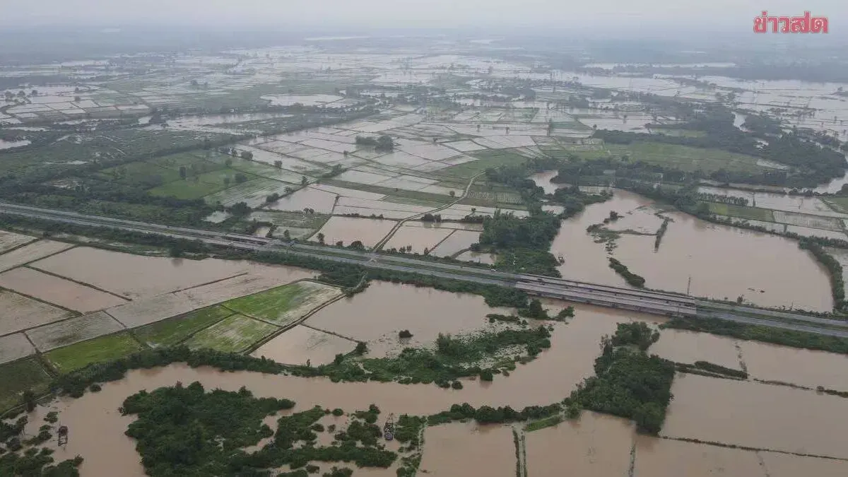
Yasothon Province has raised a red flag as water levels continue to surge, with riverbanks overflowing and flooding rice paddies and farmland. Authorities are urging residents to urgently move belongings and livestock to higher ground. On August 6, 2025, reporters documented the impact of continuous rainfall across the Northeast region, causing water from the north to flow downstream steadily. Yasothon continued to experience steady rain throughout the morning, causing water levels in the Yan River at Deid Subdistrict, Mueang Yasothon District, to rise and overflow its banks, flooding agricultural areas along both sides of the river valley.
In response, the Yasothon Provincial Irrigation Project raised a red flag at the bridge over the Yan River in Ban Mai Chumphorn, Deid Subdistrict, Mueang Yasothon District (bordering Saluphum District, Roi Et Province), signaling the maximum flood alert level indicating critical water levels and the imminent overflow of the banks. This warning alerts residents to prepare and urgently move their belongings and livestock to higher elevations.
Meanwhile, at the Yasothon-Phonmphrai Dam on the Chi River (Khueang Kham Subdistrict, Mueang Yasothon District), this morning the water level downstream increased by 40 centimeters to 123.00 meters above mean sea level. The dam is currently holding 11.50 million cubic meters of water, representing 76.92 percent of its total capacity.
Officials opened all eight spillway gates, each 1.80 meters high, to discharge water at a rate of 563.691 cubic meters per second to manage the incoming floodwaters from the Yan River and the accumulated rainfall.