Agriculture Minister Orders Immediate Action on River Heavy Metal Contamination
Agriculture Minister Suriya has ordered all ministry departments to immediately address heavy metal contamination in the Wang and Sai river basins, following a directive from Deputy Prime Minister Yeschanan. The response includes mass soil and water sampling, GIS-based risk zoning, and plans to assist farmers with crop changes and alternative water sources if high-risk areas are confirmed.
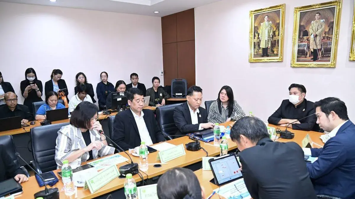
On November 18, 2026, Pongthai Thayothin, Deputy Permanent Secretary of the Ministry of Agriculture and Cooperatives, addressed the urgent directive from Deputy Prime Minister and Minister of Higher Education, Science, Research and Innovation Yeschanan Wongsa-ard. The directive ordered relevant agencies to prepare for a meeting of the Northern Region Disaster Prevention and Mitigation Committee and to address water quality issues in the Wang and Sai rivers.
Following the directive, Agriculture Minister Suriya Juangroongruangkit immediately ordered all relevant ministry departments to implement solutions for heavy metal contamination in the Wang, Sai, and related river basins, in line with the Deputy Prime Minister's policy:
1. The Ministry will deploy teams to collect soil and water samples for testing at laboratories of the Land Development Department, the Department of Agriculture, and the Rice Department — a total of 250 samples from farm plots. The Royal Irrigation Department will collect 83 water samples from irrigation sources. The Department of Fisheries will sample aquaculture areas, and the Department of Livestock Development will analyze heavy metal levels in livestock from risk zones between November 23-25, with lab results expected by Friday, November 27. Analysis results are anticipated within 1-2 weeks. While periodic checks have occurred previously, this simultaneous survey aims to provide the most current data.
2. The Land Development Department will establish standardized soil sampling guidelines, including collection dates, plot coordinates, contaminant reference values, and risk assessments. Uniform reporting formats and measurement units will enable GIS risk mapping via the Agri-Map system, dividing areas into green, yellow, and red zones by contamination severity. If high-risk (red) zones are identified, the ministry will prepare measures to help farmers switch to suitable crops.
3. Data on produce meeting safety standards will be compiled to support purchasing, distribution, and public confidence in food safety, aligning with the government's emphasis on agricultural and food safety. In the medium term, plans for alternative water sources will be readied if farmers are affected. The Land Development Department has budget for small farm ponds to support on-farm water storage.
The Deputy Permanent Secretary added that if long-term agricultural production changes are needed, the ministry has prepared plans for alternative economic crops such as rubber, ornamental flowers, or other timber species, along with knowledge transfer on soil improvement and rehabilitation, tasking the Land Development Department to disseminate this information to farmers.