Central Thailand Warned of Heavy Rain Oct 11-14, Flood Threat
Authorities warned central Thailand to prepare for heavy rain from October 11‑14, with five Bangkok districts along the Chao Phraya River on alert for rising water. The Prime Minister ordered flood‑affected provinces to keep resources deployed, assist residents, and accelerate damage assessments, while the Meteorological Department forecasts heavy rain moving southward after early October showers in the Northeast and West.
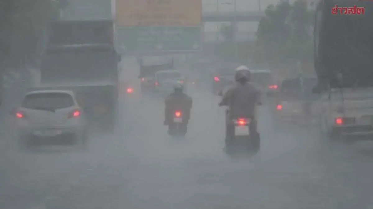
Government warns central Thailand to brace for heavy rain October 11‑14, monitoring five Bangkok districts along the Chao Phraya where water levels may rise. Prime Minister’s Office Deputy Spokesperson Lalida Parissawathanan briefed reporters at the Government House on October 2, 2026, saying the premier had instructed flood‑hit provinces to retain necessary staff and resources, continue assisting the public in all aspects, and have relevant agencies efficiently manage and drain water. For areas where conditions are improving, authorities should conduct comprehensive damage assessments and proceed with environmental restoration, public utilities, and infrastructure recovery. Lalida said the Meteorological Department forecast more rain in the Northeast from October 5‑7, moving westward, and heavy or lingering rain in the central region from October 11‑14, starting in Nakhon Sawan and averaging about 100 mm before shifting south. Overall water management shows the Chao Phraya Dam under control, with inflows trending downward; outflow at the dam’s tail is 2,500 cubic metres per second. Authorities urged vigilance in Chai Nat, Sing Buri, and Ang Thong, where conditions are stabilizing. Current impacts: Ayutthaya still faces flood effects; Pathum Thani and Nonthaburi remain stable but with lingering riverside effects. In Bangkok, flood barriers show no impact, water at the lowest point of the barrier about 90 cm; the Chanuan canal is dry, while Rom Klao area saw water drop 30 cm yesterday (Oct 1), with some spots still deep but receding and traffic improving. Flood‑deep stretches include: Phahonyothin Road at the Bangkok‑Phahonyothin 54/1 junction, Suwinthawong Road at the Ramkhamhaeng‑Khlong To‑not intersection, Bangkok‑Krungthep Road Soi 9‑25 and 41‑55, Phaeng Road, Chalong Krung Road, and Chao Khun Thanon Road from Rom Klao to Chao Khun Thanon intersection. Districts of Min Buri, Nong Chok, Prawet, Saphan Sung, and Sai Mai must closely monitor water levels due to potential rises linked to the Prawet Burirom Canal; the Sai Mai‑Oeng area still has standing water despite lower levels, requiring additional pumping or diversion, expected to take about two days. Lalida added the government continues close monitoring and will act swiftly to restore normal life for residents.