Ko Ngai is the quiet island and Ko Ha is the dive one: what the national park says about both
The national park calls Ko Ngai peaceful, with a 2.2 km beach, no car roads and far fewer tourists than Koh Lanta, and Ko Ha a ring of five islands about an hour away with coral and garden eels. Fees, rules and best months are not given.
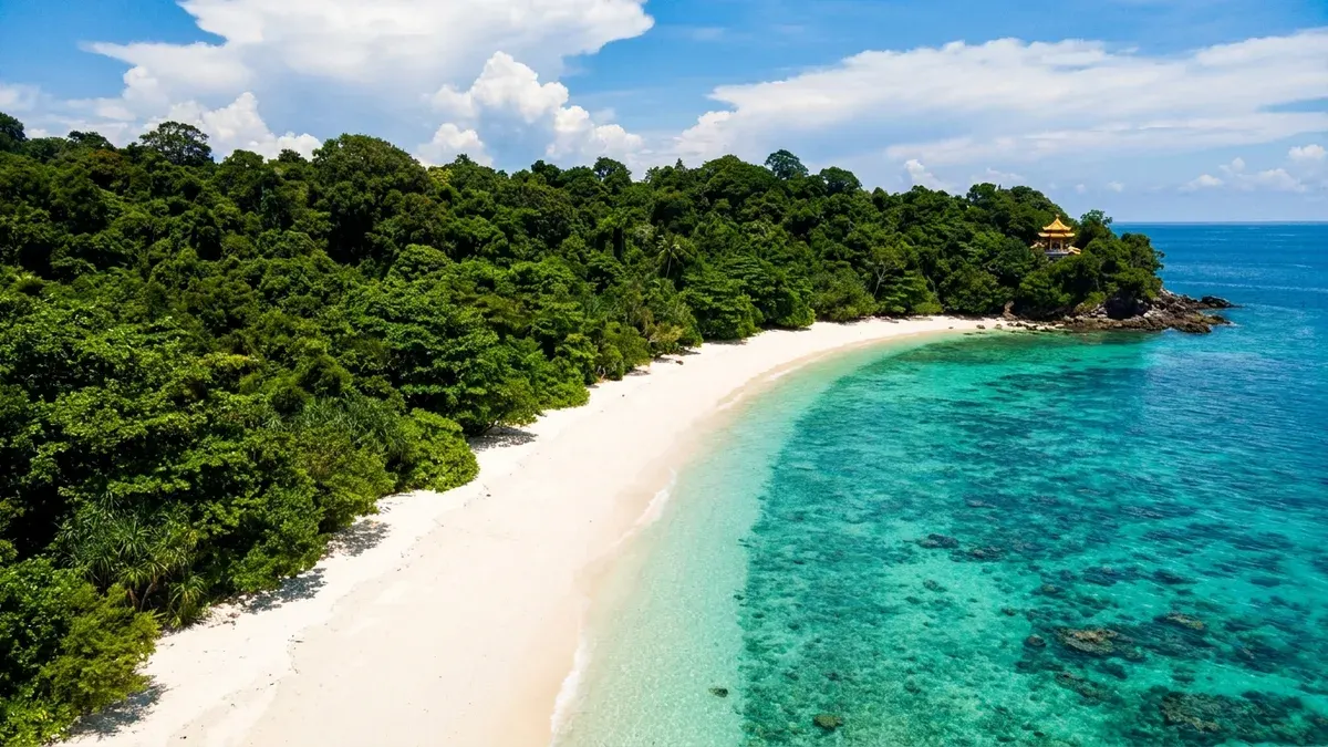
Photo: Illustration generated for Lanta News
The national park looks after two islands near Koh Lanta that could hardly be more different: one is described as peaceful and nearly empty, the other as a place to dive. The park's own pages on Ko Ngai and Ko Ha are short, but they make the difference clear.
Ko Ngai: the quiet one
The Department of National Parks describes Ko Ngai as peaceful, with far fewer tourists than Koh Lanta, a small island with no car roads. It says that makes it suit people who truly love nature and the sea. These are our translations of the Thai, and the page is undated.
On the east coast the page gives a stretch of white sand beach 2.2 kilometres long, with a reef toward the end of the island. In the southeast, a small bay near the pier is called an excellent shallow-water snorkelling spot. Walking south you reach Laem Kuan Im, where the park's ranger unit Lt.2 is based, with a long stretch of fine white sand and coral off the front of the island that you can snorkel over. The park's main page gives the island's highest peak as 198 metres.
Ko Ha: the one you dive
The park says Ko Ha lies between Ko Phi Phi and the dive rocks Hin Daeng and Hin Muang, and that the trip from Koh Lanta takes about an hour. It is a group of five islands forming a pool in the middle, like a lake ringed by large rocks. There is a small beach for sunbathing, and the largest island has grassland on its ridge that the page says looks like a sailboat. On one of the islands, it says, water passes right under the island from one side to the other.
Around the group the page gives coral at depths of about 18 to 34 metres, and calls it good for both scuba diving and snorkelling. That figure is odd, because it describes the reef as shallow while giving depths that are not, so treat it as the park's rough description and not a guide to snorkelling depth. On the west side it names large rocks and soft coral, and says you may see garden eels poking out of the sand to feed.
Phone signal and the season
The park's mobile signal list names AIS at both: AIS and TRUE-DTAC on Ko Ngai, and AIS on Ko Ha. We cover that list in our article on mobile signal.
The park's seasonal closure of 16 May to 15 November names Ko Rok, Hin Daeng and Hin Muang, not Ko Ngai or Ko Ha, as we describe in our Ko Rok piece. Whether boats run to Ko Ha in the rain months we could not establish: one reviewer on a tour page said they could not get out of the boat there because the water was too rough.
Where sources disagree
Travel sites put the boat time to Ko Ngai from Saladan at anything from about half an hour to an hour. The park gives no time for Ko Ngai at all, and only "about an hour" for Ko Ha. We also found sources disagreeing on which province Ko Ngai belongs to, with some placing it in Krabi and others treating it as a Trang island reached from Pak Meng pier, and the park page does not say, so we are not saying either.
What we could not establish
The park pages for both give no fees, no rules, no camping or accommodation and no best months. The map on each is an image we could not read. For the park itself, it lists 0 7565 6576 for enquiries. The illustration above is generated and is not a photograph of Ko Ngai.