Meteorology Department Warns of Heavy Rain in 24 Provinces
Heavy rain and flooding threaten 24 Thai provinces over the next 24 hours as a monsoon trough brings strong storms across the north, northeast, east, and south regions.
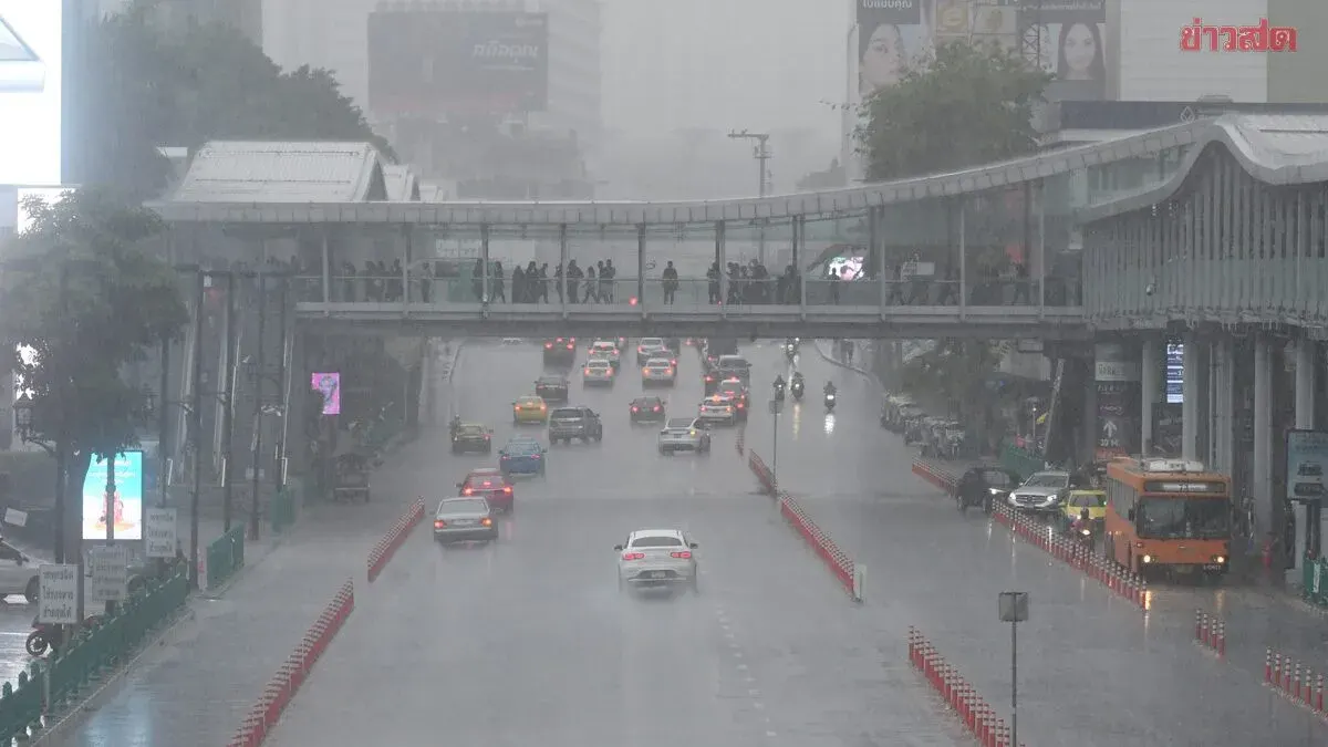
The Meteorology Department warned on August 17, 2569, that heavy rain will continue over the next 24 hours across the northern, upper northeastern, eastern, and western southern regions due to a monsoon trough extending from Myanmar and northern Laos into a low-pressure zone over northern Vietnam, combined with strong southwest winds covering the Andaman Sea, Thailand, and the Gulf of Thailand. Residents in affected areas are urged to prepare for potential flash floods, mudslides, and riverbank overflow, particularly in hillside and low-lying areas near waterways. Waves in the upper Andaman Sea are expected to reach 2-3 meters, with heights exceeding 3 meters in thunderstorm areas. Fishermen in the Andaman Sea and Gulf of Thailand are advised to navigate with caution and avoid thunderstorm zones, while small boats in the upper Andaman Sea should remain ashore. Detailed forecasts show thunderstorms affecting 60 percent of the northern region (Mae Hong Son, Chiang Rai, Phayao, Nan, Tak, and Phetchabun provinces), 40 percent of the upper northeast (Bueng Kan, Sakon Nakhon, and Nakhon Phanom), 40 percent of the central region (Nakhon Sawan, Uthai Thani, Kanchanaburi, and Ratchaburi), 40 percent of the east (Chanthaburi and Trat), 40 percent of the eastern south coast (Prachuap Khiri Khan, Chumphon, Surat Thani, Nakhon Si Thammarat, and Songkhla), and 60 percent of the western south (Ranong, Trang, and Satun). Temperatures range from 22-28°C (low) to 30-37°C (high) depending on region, with southwest winds at 10-40 km/h. Sea conditions remain rough with elevated wave heights in stormy areas.