Royal Irrigation Department Monitors Chao Phraya River Basin as Upstream Flooding Increases
The Royal Irrigation Department is monitoring rising water flow in the Chao Phraya River basin as upstream flooding increases, with the dam currently controlling levels to prevent downstream impacts.
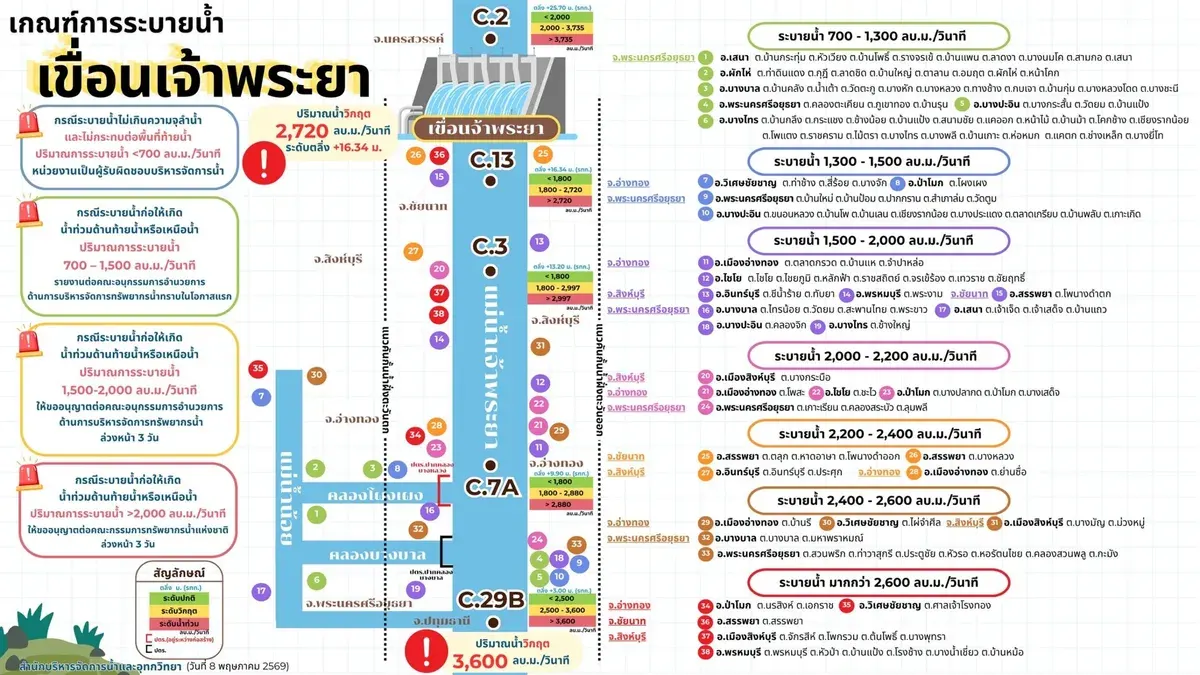
The Smart Water Operations Center (SWOC) of the Royal Irrigation Department announced on May 23, 2569 that continuous monitoring of water conditions in the Chao Phraya River basin shows steadily increasing water flow from upstream areas entering the basin.
As of 6:00 AM on May 23, 2569, measurements at Station C.2 in Muang District, Nakhon Sawan recorded water flow of 893 cubic meters per second, causing water levels above the Chao Phraya Dam to rise to +16.54 meters. The Chao Phraya Dam is currently releasing 300 cubic meters per second to maintain appropriate water management standards, with water levels controlled not to exceed +16.60 meters. Water flow through the dam is projected to increase to approximately 500-700 cubic meters per second based on upstream water conditions and current rainfall patterns. This volume is not expected to impact downstream areas.
The Royal Irrigation Department continues to monitor water levels, weather conditions, and water management while coordinating with relevant agencies. Residents in low-lying areas along the Chao Phraya River are advised to monitor updates closely to prepare for potential situations and minimize impacts. Additional water situation information is available at https://www2.rid.go.th/th/main