Thailand Braces For Heavy Rain, Strong Waves From Typhoon Bavi
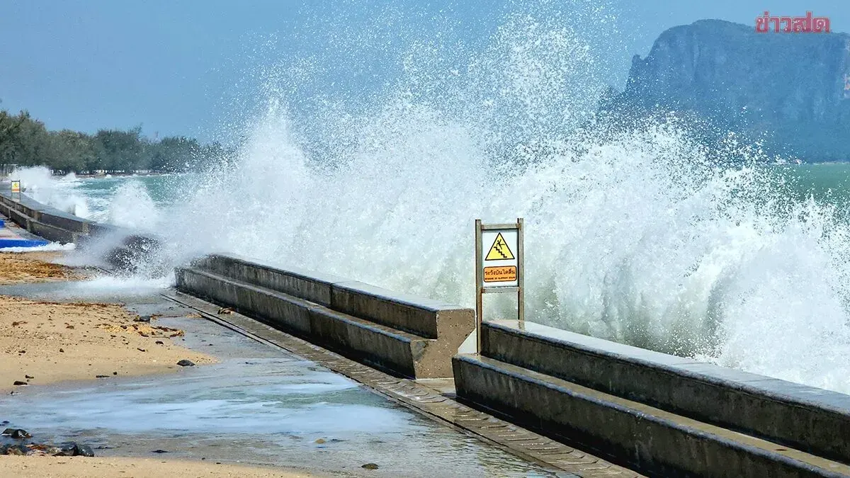
Thailand's Meteorological Department warned of heavy rain and waves reaching 4 meters across the Andaman Sea and southern provinces from July 10-15 as a distant typhoon intensifies the southwestern monsoon.
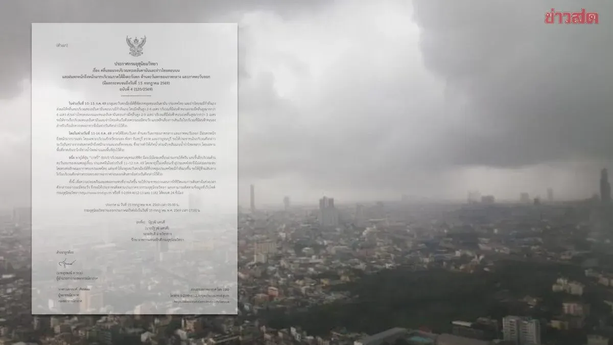
The Thai Meteorological Department issued its fourth alert warning of powerful southwestern monsoon winds across the Andaman Sea and upper Gulf of Thailand from July 10-15, 2025. Waves in the upper Andaman are expected to reach 2-4 meters, with areas experiencing thunderstorms seeing waves exceeding 4 meters. The upper Gulf and lower Andaman will see waves of 2-3 meters, rising above 3 meters in thunderstorm areas. Mariners are urged to navigate cautiously and avoid thunderstorm zones; small boats should remain ashore during this period.
From July 11-14, very heavy rainfall is forecast for southern Thailand's western coast, western central region, and eastern provinces, particularly Ranong, Phang Nga, Chanthaburi, Trat, and Kanchanaburi. Residents should prepare for flash flooding and overland flow, especially in foothill areas and low-lying zones near water channels.
Typhoon Bavi in the Pacific is expected to cross Taiwan and make landfall in China's Fujian Province on July 11-12, and will not directly impact Thailand. However, the storm will intensify the southwestern monsoon affecting the country. The Meteorological Department advises the public to check weather conditions before traveling and to monitor updates at www.tmd.go.th or by calling 0-2399-4012-13 and 1182. The next alert will be issued on July 10 at 5 p.m.