Thailand Braces For Heavy Rain, Typhoon Bavi Looms
Thailand's meteorological department warns of heavy rainfall and rough seas from July 10-15 as an intensifying southwest monsoon threatens the Andaman Sea and southern regions, with flash flooding risks in western and eastern provinces.
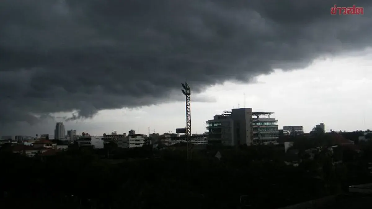
On July 9, 2569 (2026), the Thai Meteorological Department issued an alert regarding strong winds in the Andaman Sea and upper Gulf of Thailand, along with heavy to very heavy rainfall in the southern west coast, western central region, and eastern areas, with impacts expected July 10-15.
During July 10-15, the southwest monsoon covering the Andaman Sea and Gulf of Thailand will intensify, bringing waves of 2-4 meters in the upper Andaman Sea, exceeding 4 meters in thunderstorm areas. The upper Gulf and lower Andaman Sea will see waves of 2-3 meters, exceeding 3 meters during storms. Fishermen are urged to exercise caution and avoid thunderstorm zones, while small boats should remain ashore during this period.
Between July 11-14, the southern west coast, western central, and eastern regions will experience heavy to very heavy rainfall, particularly in Ranong, Phang Nga, Chanthaburi, Trat, and Kanchanaburi provinces. Residents should be alert to dangers from accumulated rainfall, which may cause flash flooding and flash floods, especially in hillside areas and low-lying zones.
Typhoon Bavi, currently over the Pacific Ocean, is expected to cross Taiwan and make landfall in China's Fujian Province around July 11-12. While it will not directly affect Thailand, it will strengthen the southwest monsoon system already covering the country. The Thai Meteorological Department urges the public to plan activities carefully and monitor weather updates via its website (tmd.go.th) or hotlines 0-2399-4012-13 and 1182 available 24/7.