Chao Phraya River Water Levels Rise; 10 Provinces on Alert
Water levels in the Chao Phraya River are expected to rise significantly over the next week, prompting authorities to alert 10 central provinces including Bangkok and Ayutthaya to prepare flood barriers and emergency equipment.
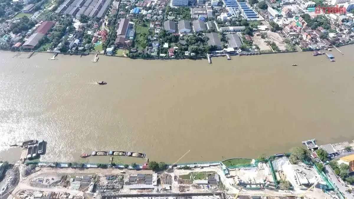
On September 22, Theeraphath Kutchmart, director-general of the Department of Disaster Prevention and Mitigation, announced that the department has received notification from the Irrigation Department forecasting water flow over the next 1 to 9 days. On September 29 at Station C.2 in Muang Nakhon Sawan District, Nakhon Sawan Province, water flow is expected to reach approximately 1,400–1,450 cubic meters per second, with additional flow from tributary streams of 150–200 cubic meters per second. Combined with water intake for irrigation on both sides at 400–450 cubic meters per second, water discharge through the Chao Phraya Dam will need to be maintained at 1,000–1,300 cubic meters per second, raising water levels in low-lying areas outside flood barriers by an estimated 0.50–1.50 meters. Affected areas include Sena, Phak Hai, Bang Bal, Phra Nakhon Si Ayutthaya, Bang Pa-in, and Bang Thai districts in Ayutthaya Province, though protected areas inside flood barriers will not be affected.
The Central Disaster Prevention and Mitigation Command has coordinated with 10 central provinces—Uthai Thani, Chainat, Sing Buri, Ang Thong, Suphan Buri, Phra Nakhon Si Ayutthaya, Lopburi, Pathum Thani, Nonthaburi, Samut Prakan, and Bangkok—to alert relevant agencies, private businesses operating on the river, and residents along both banks to monitor water conditions and prepare for rising levels. Authorities have been instructed to inspect flood barriers, ready emergency equipment, and maintain 24-hour readiness to assist residents. Residents in low-lying areas should track water levels closely and move belongings to higher ground for safety.