Khao Yai National Park Floods Four Districts; Six Popular Waterfalls Closed
Severe flooding from Khao Yai National Park has inundated four districts in Prachuap Khiri Khan province, closing six popular waterfalls and displacing over 250 families across Kabinburi and Si Maha Phot districts.

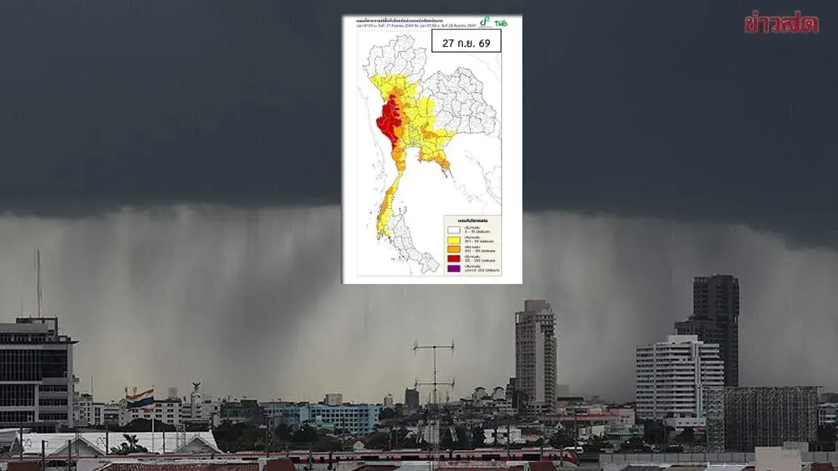
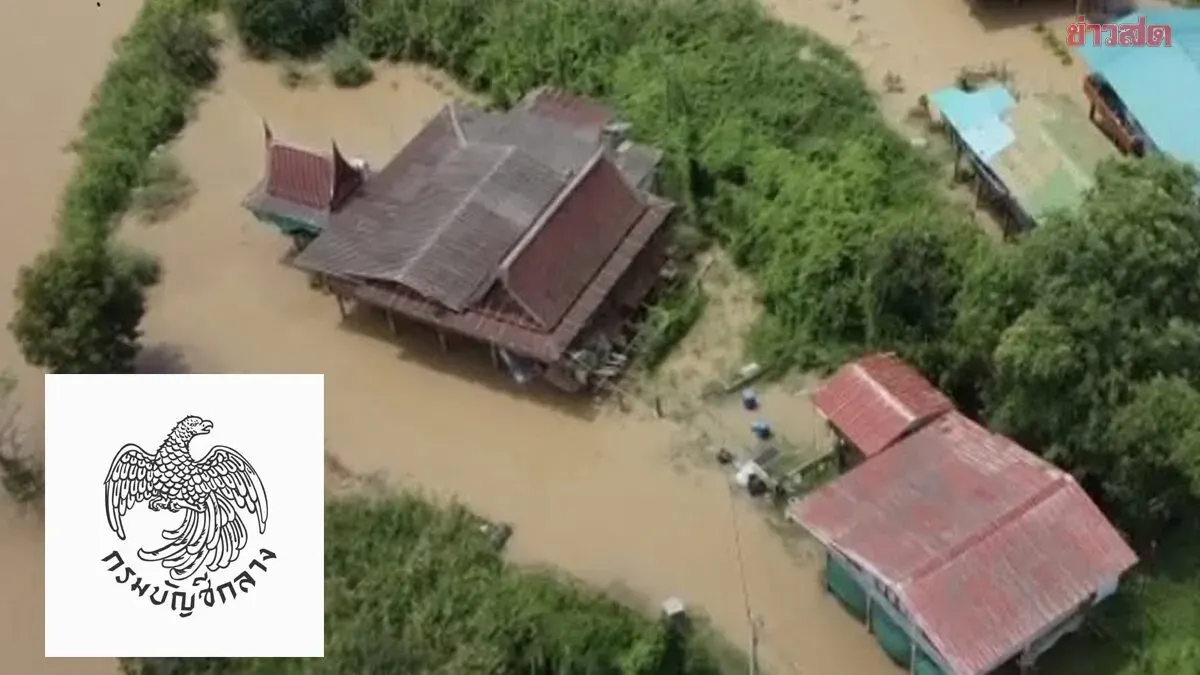
Severe flooding from Khao Yai National Park has swept through four districts in Prachuap Khiri Khan, Kabinburi, Si Maha Phot, Pranchuap Khirikhan, and Na Di, with reddish floodwaters rising rapidly. Park director Chaiyya Huay Hongthong announced the immediate closure of six fee-collection points for two days due to dangerous conditions after rainfall exceeded 100 millimeters, particularly at Takhro Waterfall in Pranchuap Khirikhan district and Kaeng Hin Phing in Na Di district. The provincial governor has established an emergency command center, mobilizing resources to evacuate vulnerable residents and provide shelter and essential services. As of 11:40 p.m. on September 26, Kabinburi District has been completely flooded across all 14 subdistricts, with water levels rising 1.56 to 1.70 meters in some areas and affecting over 120 households. Large volumes of floodwater from Wang Ta Chiang subdistrict have spread to surrounding areas including the historic 100-year old market community, forcing over 130-140 families to take refuge in temporary shelters at local temples. Highway 359 has reopened but residents are warned of standing water near Sukhaphumi Bridge. Si Maha Phot district reports all 10 subdistricts are flooded, with the heaviest impact in newly developed residential and industrial zones in Tha Toom subdistrict where residents were unprepared for flooding in these previously unaffected areas.