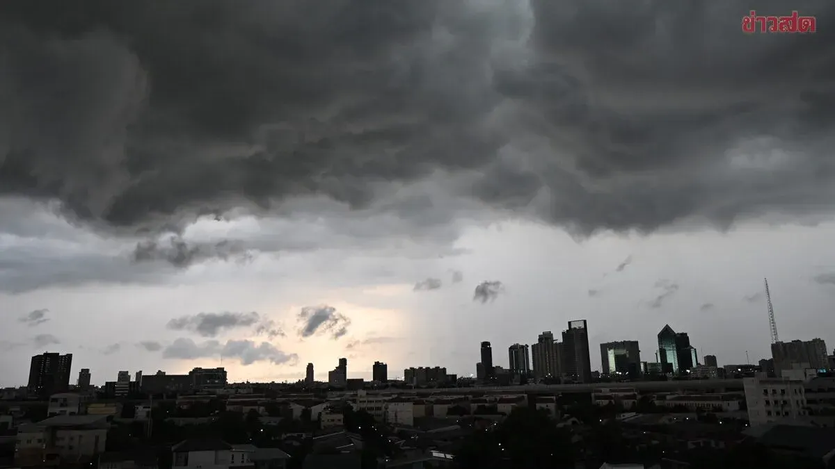
Thailand's Meteorological Department forecasts severe rain across 40 provinces this week, with the Northeast expecting heavy to very heavy downpours that could trigger flash floods and landslides. A strengthening Southwest monsoon combined
Thailand's Meteorological Department issued a weather forecast on August 5, 2025 for the next 24 hours, predicting increased rainfall nationwide with the Northeast experiencing heavy to very heavy rain in some areas, while the North, Central, East, and South regions face scattered heavy downpours. The conditions are caused by a monsoon trough moving through the upper North and northern Laos into a low-pressure zone near northern Vietnam's coast, combined with a moderate Southwest monsoon strengthening over the Andaman Sea, Thailand, and the Gulf of Thailand. Residents in affected areas are urged to beware of dangers from heavy and accumulated rainfall that could cause flash floods and landslides, particularly in hillside and basin areas near waterways.
Wave conditions are strengthening in the Andaman Sea and Gulf of Thailand, with the upper Andaman experiencing 2-3 meter waves, exceeding 3 meters in thunderstorm zones. The lower Andaman and upper Gulf of Thailand have approximately 2-meter waves, rising above 2 meters during thunderstorms. Boaters are advised to exercise caution, avoid thunderstorm areas, and small boats in the upper Andaman should stay ashore.
Tropical Storm Kujira, which intensified from a depression in the South China Sea, is moving toward the northern Philippines and poses no threat to Thailand. Travelers to that region are advised to check weather conditions before departing.
Detailed regional forecasts (6:00 AM today to 6:00 AM tomorrow):
**North:** Thunderstorms in 60% of the area with heavy rain in some zones across Mae Hong Son, Chiang Mai, Chiang Rai, Lampang, Phayao, Phrae, Nan, Uttaradit, Phitsanulok, and Phetchabun. Low 23-27°C, high 32-35°C. Southwest winds 10-20 km/h.
**Northeast:** Thunderstorms in 70% of the area with heavy rain in some locations, including very heavy rain in parts of Bueng Kan and Nakhon Phanom provinces. Affected provinces: Nong Khai, Udon Thani, Sakon Nakhon, Kalasin, Mukdahan, Yasothon, Amnat Charoen, and Ubon Ratchathani. Low 23-26°C, high 29-34°C. Southwest winds 10-20 km/h.
**Central:** Thunderstorms in 60% of the area with heavy rain in some zones across Nakhon Sawan, Lopburi, Saraburi, Ayutthaya, Kanchanaburi, Ratchaburi, and Nakhon Pathom. Low 25-27°C, high 34-36°C. Southwest winds 10-25 km/h.
**East:** Thunderstorms in 60% of the area with heavy rain in some locations in Nakhon Nayok, Prachuap Khiri Khan, Chanthaburi, and Trat. Low 23-28°C, high 31-35°C. Southwest winds 20-35 km/h. Sea waves approximately 2 meters, exceeding 2 meters in thunderstorm zones.
**South (East Coast):** Thunderstorms in 60% of the area with heavy rain in some zones across Nakhon Si Thammarat, Phatthalung, Songkhla, Pattani, Yala, and Narathiwat. Low 23-26°C, high 33-36°C. Southwest winds 15-35 km/h. Sea waves approximately 1 meter, 1-2 meters offshore, exceeding 2 meters in thunderstorm areas.
**South (West Coast):** Thunderstorms in the area with scattered heavy rainfall.