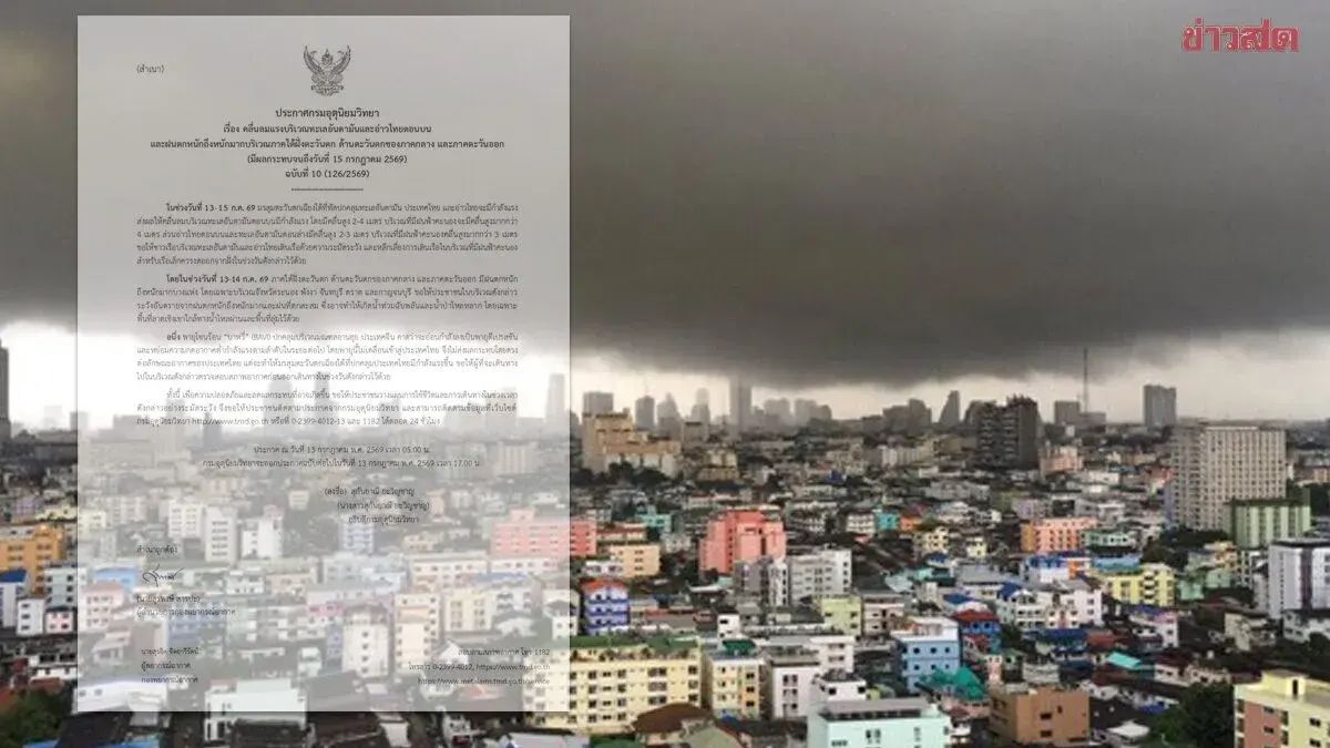
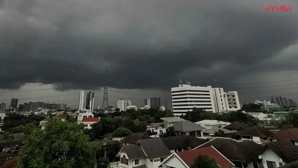
Heavy to very heavy rainfall is expected across 30 Thai provinces through July 15, with flash flooding risks particularly high in the northeastern, central, and southern coastal regions as a strong southwest monsoon and low-pressure system
The Thai Meteorological Department has issued warnings for 30 provinces expecting heavy to very heavy rainfall affecting 60% of areas, with risks of flash flooding and flash floods, including Bangkok and surrounding areas. On July 13, 2025, forecasters predict rainfall across Thailand in the next 24 hours, with heavy to very heavy falls in the upper northeastern region, western central, eastern, and western southern coastal areas due to strong southwest monsoon winds over the Andaman Sea and Thailand, combined with a low-pressure system over northern Vietnam. Residents in these areas must be cautious of heavy to very heavy rainfall and accumulated moisture, which may cause sudden flash floods and flash floods, especially in foothill areas near watercourses and in lowland basins. Sea conditions around the Andaman Sea and Gulf of Thailand will be rough, with waves 2-4 meters high in the upper Andaman (exceeding 4 meters during thunderstorms) and 2-3 meters in the lower Andaman and upper gulf (exceeding 3 meters with storms). Boat operators should navigate cautiously and avoid areas with thunderstorms; small boats in the Andaman and upper gulf should remain ashore until July 15, 2025. Coastal residents along the western southern coast should watch for dangerous wave surge. Tropical storm Bavi, currently over Anhui Province in China, is forecast to weaken into a depression and further lose strength; it will not affect Thailand. Those traveling to that region should check weather conditions before departing. Regional forecasts for the next 24 hours include: Northern region with 70% thunderstorm coverage and heavy rain in Mae Hong Son, Chiang Mai, Chiang Rai, Phayao, Nan, and Tak; temperatures 22-25°C low, 30-34°C high; southwest winds 10-20 km/h. Upper Northeastern region with 70% thunderstorms and heavy to very heavy rain in Nong Khai, Bueng Kan, Udon Thani, Sakon Nakhon, Nakhon Phanom, Mukdahan, Amnat Charoen, and Ubon Ratchathani; temperatures 22-24°C low, 28-35°C high; southwest winds 10-20 km/h. Central region with 40% thunderstorms and heavy to very heavy rain in Kanchanaburi and Ratchaburi; temperatures 23-25°C low, 31-36°C high; southwest winds 10-25 km/h. Eastern region with 60% thunderstorms and heavy to very heavy rain in Nakhon Nayok, Prachuap Khiri Khan, Sa Kaeo, Chanthaburi, and Trat; temperatures 24-27°C low, 29-35°C high; southwest winds 20-40 km/h; sea waves 2-3 meters (exceeding 3 meters during storms). Southern coastal region with 40% thunderstorms and heavy rain in Phetchaburi, Prachuap Khiri Khan, Chumphon, and Surat Thani; temperatures 22-25°C low, 30-34°C high; from Surat Thani northward: southwest winds 20-40 km/h, waves 1-2 meters (exceeding 2 meters offshore and during storms); from Nakhon Si Thammarat southward: southwest winds 20-35 km/h.