Thailand Warns Heavy Rain Oct 4-7, Flood Risk North, South
Thailand’s government warned of heavy rain from October 4 to 7, with flash‑flood and landslide risks in the north and south. Authorities urged Ayutthaya and low‑lying areas to prepare for extra water releases from the Chao Phraya and Pasak dams, while Bangkok opened canals to drain water toward the Gulf. Officials also ordered coordinated disaster response and timely public warnings.
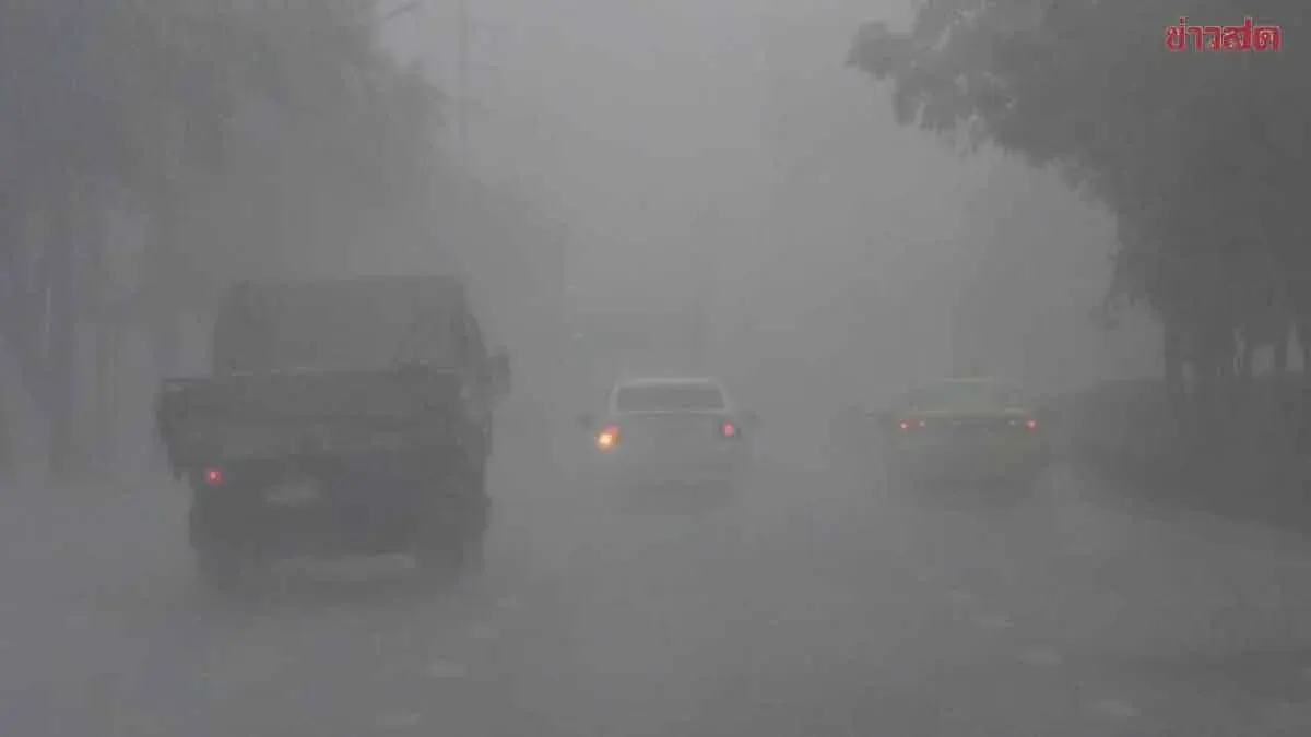
The government warned that heavy rain is expected from October 4 to 7 across Thailand’s northern and southern regions, raising the risk of flash floods and landslides. Spokesman Ekkapop Piapiset said at a Government House briefing on October 3 that the Chao Phraya and Pasak dams are releasing water—2,500 cubic metres per second from Chao Phraya and 400 cubic metres per second from Pasak—combining in Ayutthaya Province and increasing water levels in low‑lying areas, urging residents to move belongings to higher ground. He added that while floodwaters in the central plains from Uthai Thani downstream are stable and beginning to recede, the seasonal rains will be strongest in the west (Kanchanaburi and Phetchaburi) and in the east around Kabin Buri district in Prachin Buri, especially on October 5, and called for vigilance in the north and south for possible mudslides. Bangkok has opened canals to take in water from the north and discharge it into the Chao Phraya River to boost outflow to the Gulf of Thailand, and the Prime Minister chaired a national disaster‑command meeting ordering clear task assignments, integrated agency response, and staff rotations in critical zones, while the Department of Disaster Prevention and Mitigation was told to issue timely, easy‑to‑understand warnings and to coordinate closely to resolve any bottlenecks. Deputy spokeswoman Lallida Perisawiwatana noted four Bangkok roads still affected by high water—Phahonyothin near Saphan Suea Thammakit‑Phahonyothin Soi 60, Suwinthawong at the Ramkhamhaeng‑Khlong Thon intersection, Rong Paeng from Khlong Hua Takhop to Suvarnabhumi Waterworks via Soi Nam Krai‑Khlong Phraya Phet‑Khlong Phraya Phet‑Khlong Kalong, and Lat Krabang along its entire length in front of the Lat Krabang District office—and said that water levels in the Rom Kla housing area have fallen 30 cm but roads remain flooded to 20‑30 cm, with Bangkok pumping stations and tunnels working to push water into the Pravet Buri Rom canal.