Ban Thung Yee Peng: a mangrove village on Koh Lanta's east coast, its charcoal past, and what the sources say about its forest
Ban Thung Yee Peng is a Muslim fishing village of about 1,250 people in Sala Dan. Two Thai institutional pages describe a mangrove forest of more than 7,000 rai and a community tourism enterprise. Here is what they say, where they differ, and what we could not confirm.
Most visitors stay on Koh Lanta's west coast. Ban Thung Yee Peng faces the other way, across the mangroves of the east coast. It is Moo 4 of Sala Dan subdistrict, according to the Sirindhorn Anthropology Centre's community wiki, and it runs a conservation-tourism enterprise that the national tourism body DASTA lists on its community tourism site. This piece sets the two pages side by side.
The name
Both pages say the village is named after a man called Tok Yi Peng. The wiki calls him its first settler, says he was Malaysian and says that "Tok" is a local Muslim word for grandfather. After he died, it says, villagers called the place Ban Thung Yee Peng, thung meaning open field, after the wide grassland on fine white sand where he built his home.
Charcoal, shrimp and the tsunami
The wiki gives this history, and we found no second source for it, so the dates are its own and approximate:
- Muslim settlers arrived roughly 100 years ago.
- Around 1961 mangrove concessions went to Chinese-owned businesses for charcoal, and villagers worked as labourers.
- The concessions ran out after 1992 and people went back to fishing, farming and rubber tapping.
- Around 2000 many villagers moved to shrimp farming, which the wiki says failed because of limited know-how, marketing problems and unstable prices.
- The 2004 tsunami did limited damage to the village, the wiki says, because the mangroves buffered the waves. Tourism stalled and marine animal numbers fell, and it says UNDP gave 700,000 baht for recovery. Our own piece on the 2004 tsunami on Koh Lanta covers the island as a whole.
One detail fits the charcoal story. DASTA says the local name for the traditional boat used on its mangrove trips is "reua tao than", and the kayak route includes Khlong Tao Than. In Thai, tao than means charcoal kiln, and DASTA says the boat was once used to carry mangrove charcoal. We found no source that explains the canal's name, so linking it to the charcoal trade is our reading.
The forest
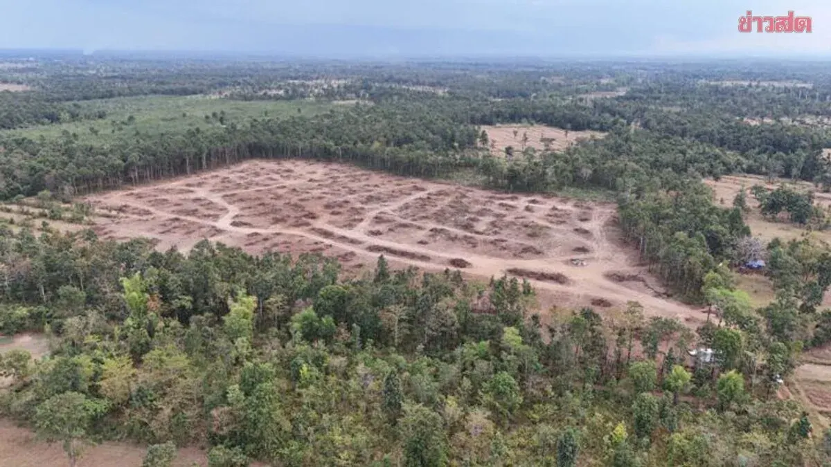
DASTA calls the mangrove a conservation forest of more than 7,000 rai, about 11 square kilometres. The wiki gives the same figure, says it was registered as a community forest after about five years of restoration, and says it is split into conservation, use and restoration zones managed by the community tourism enterprise. Both pages list a community forest award in 2017. They differ on the tourism awards, so we do not repeat those.
We found no figure from the forestry or marine departments' registers. We cannot say whether 7,000 rai is the registered community forest or the whole surrounding mangrove, so treat it as the village's and DASTA's figure.
The village today
The wiki gives 1,246 residents in 431 households as of December 2022: 641 men and 605 women. It says the whole village is Muslim, that the mosque is the community's centre, and that people speak southern Thai. Livelihoods are small-scale coastal fishing, rubber and tourism. Products named by DASTA and the wiki include shrimp paste and sun-dried mullet. The wiki says fishing follows the spring and neap tides. For how the district's Muslim majority looks to a visitor, see our piece on the Muslim island.
One older record concerns water. In March 2010 Komchadluek reported four Sala Dan villages short of water in a long dry season. It named Ban Thung Yee Peng, Moo 4, as the one not affected, because its village waterworks still worked. Where the island's water comes from has the rest of that picture.
If you visit
DASTA lists a mangrove nature walk with macaques, birds and blue fiddler crabs, a ride on the traditional rowed boat or a longtail boat through the mangroves, kayaking on Khlong Tao Than and Khlong Tha, seagrass planting, fish-house building and forest planting, and batik painting. Its route page gives each activity as 60 minutes. DASTA says visitors should dress appropriately, avoid alcohol and avoid loud noise at night.
The wiki lists 750 baht a person for the rowed boat at dawn, 1,350 baht for kayaking and 1,500 baht for the longtail boat through the mangroves. DASTA's page gives no activity prices, and we do not know the wiki's date for them or what each price covers, so ask the enterprise before you go. DASTA lists opening daily from 08:00 to 17:00 all year, but its page carries only a 2020 copyright line, so it may be out of date.
What we could not confirm
- A second source for the charcoal, shrimp and tsunami history.
- Whether 7,000 rai is the registered community forest or the whole mangrove.
- Current prices, opening hours and how to book.
If you live in the village, or run its tours, and can correct any of this, write to us.
Sources: the Sirindhorn Anthropology Centre community wiki page for Ban Thung Yee Peng, compiled in 2023; DASTA's community tourism pages for the enterprise and its route; Komchadluek, 26 March 2010. All are in Thai and were read through our own translation. We have not visited.