Thailand Urges AI Use After Floods Cost 12.3 Billion Baht
Heavy rains and flooding across Thailand in late September caused economic losses of 12.3 billion baht, according to Real Smart. The company’s CEO Rungroj Chokngamwong urged upgrading disaster management by integrating AI, sensors, and real‑time data to speed warnings and decisions. He cited examples from the Netherlands, Japan and the United States where AI improves flood modeling, early warnings and wildfire monitoring.
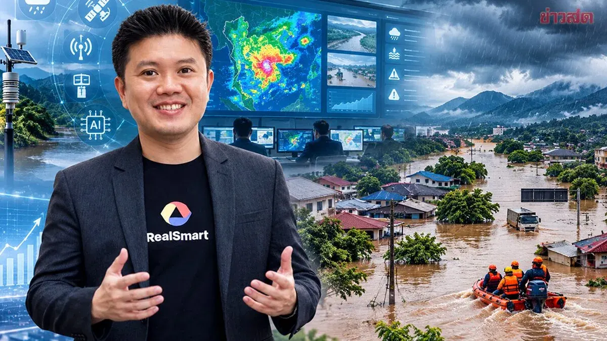
Heavy rains and flooding in many areas have disrupted economic activity, Real Smart says Thailand must upgrade its disaster management system from early warning to recovery, using AI, sensors and real‑time data to model situations and speed decisions. After assessing the September 25‑29 floods, the company estimated the economic impact at 12.3 billion baht.
The recent heavy rain and flooding across Thailand are not just a drainage issue but also a major challenge for urban management and economic risk, spanning warnings, response and restoration to normal conditions. Rungroj Chokngamwong, Chief Information Technology Officer of Real Smart PLC, said the core of disaster management is “integration” of agencies, data and technology, especially having sufficient, accurate and fast information to support decisions, because even slight delays in a crisis can increase damage to lives, property and the economy.
Today, artificial intelligence can gather, process and analyse massive datasets, helping experts and leaders see the situation more quickly. Several countries have begun combining AI and digital tools with disaster‑management systems. The Netherlands, for example, has long integrated technology with water‑management infrastructure—dikes, levees, storm‑surge barriers, pumping stations and the “Room for the River” concept that gives rivers more space to absorb and discharge water. Dutch water and meteorological agencies also use AI and machine learning to enhance hydraulic models, coupling ML with physics‑based models to cut computation time and enable faster scenario simulations for water management.
Japan illustrates the value of “fast data”: its Earthquake Early Warning system detects P‑waves from a seismic sensor network, evaluates critical information and issues alerts to the public and relevant systems before the stronger shaking arrives.
The key lesson is not AI alone but linking data, sensors, processing, communications and response procedures into a single system. In the United States, the ALERTCalifornia project uses a large network of cameras to spot potential wildfires and feeds the information to officials for quicker verification and response, showing how AI can act as “thousands of extra eyes” to monitor hazards and support human decisions.
Rungroj added that, for Thai floods, AI can work with meteorological and hydrological models to analyse weather, forecast rainfall, assess water levels and flow, then generate scenario simulations to evaluate trends in each area. The goal should go beyond asking “how much rain will fall” to answer where the water will go, which areas are at risk of flooding, how high water levels might rise, which spots will be affected first and what management options exist.
For instance, the system can simulate the impact of increased rainfall, different drainage levels or various mitigation measures.