Heavy Rain Alert for 46 Thai Provinces Including Bangkok
A monsoon trough is bringing heavy rain to 46 Thai provinces over the next 24 hours, with the North and Northeast regions most at risk of flash floods and forest runoff.
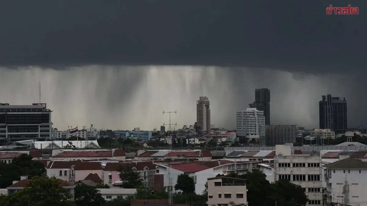
The Thai Meteorological Department forecasts increased rainfall across Thailand over the next 24 hours, with heavy rain expected in the upper North and eastern Northeast regions. A monsoon trough is moving south through the North and upper Northeast, combining with moderate southwest winds affecting the Andaman Sea, Thailand, and the Gulf of Thailand. Residents are urged to exercise caution regarding heavy and accumulated rainfall, which may cause flash floods and forest runoff, particularly in Mekong River basins, hillside areas near water channels, and low-lying zones. Travel on flood-prone routes should be avoided, especially in low areas vulnerable to short-term flooding.
Sea conditions in the Andaman and Gulf of Thailand will be moderate, with waves around 2 meters in the upper Andaman, reaching over 2 meters in thunderstorm areas. Fishermen are advised to proceed with caution and avoid areas with thunderstorms. The depression "Sodel" in Guangdong, China, has weakened into a strong low-pressure system.
Regional forecasts show thunderstorms across 60-70 percent of the North and Northeast, with heavy rain in provinces including Chiang Rai, Phayao, Nan, Bueng Kan, Nakhon Phanom, Mukdahan, Yasothon, Amnat Charoen, and Ubon Ratchathani. The Central region will see 60 percent thunderstorm coverage, particularly in Lopburi and Saraburi. The East will experience similar conditions in Nakhon Nayok, Chanthaburi, and Trat. The southern coasts will see 40-60 percent coverage, affecting Surat Thani, Nakhon Si Thammarat, Phatthalung, Songkhla, Pattani, Yala, and Narathiwat on the east coast, and Phang Nga, Phuket, Krabi, Trang, and Satun on the west coast. Temperatures will range from 22-27°C lows to 31-36°C highs, with southwest winds at 10-35 km/h.