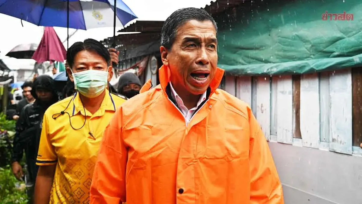
Heavy Rain Swamps Bangkok, Minburi Hit Hardest
Heavy rainfall across Bangkok left 15 roads flooded on September 25, with Minburi District receiving the highest accumulation at over 101 millimeters in 24 hours.
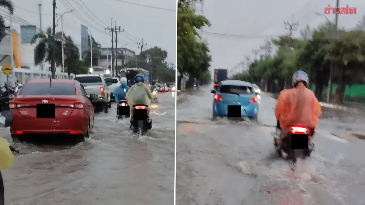
On September 25, 2026, Bangkok's Flood Control Center reported moderate to heavy rainfall across the city in the previous 24 hours. The highest rainfall recorded was 101.5 millimeters at the Prachakon Samakkhi station in Minburi District, followed by 97.5 millimeters at Khlong Samwa in Khlong Samwa District, 86.5 millimeters at Khlong Prawet-Lad Krabang in Lad Krabang District, 83.5 millimeters at Phraya Suren in Sai Mai District, and 72 millimeters at Khlong Saen Saep-Bang Chan in Saphan Sung District. The rainfall resulted in flooding on 15 roads managed by the city's drainage authority, including Nawamin Soi 38 in Bueng Kum, Nakniwat Soi 38 in Lad Prao, and multiple locations in Lad Prao, Wangtong Lang, Lat Phrao, Minburi, and Lad Krabang districts.
Water levels at key drainage gates were reported as follows: Khlong Song (South Channel) at 1.65 meters (normal level) at 07:00, Saen Saep in Minburi at 0.79 meters (critical level) at 07:00, and Lad Krabang at 0.43 meters (critical level) at 07:00. The Chao Phraya River reached its highest level on September 24 at 1.45 meters at the Bang Na pump station at 19:00, 1.40 meters at the Talat Mouth gate at 19:00, and 1.60 meters at the Bang Khen Pump Station at 20:00. Water flow through the Chao Phraya River measured 1,795 cubic meters per second at Nakhon Sawan, 1,750 cubic meters per second at Chao Phraya Dam, and 1,693 cubic meters per second at Sam Khok in Pathum Thani Province.