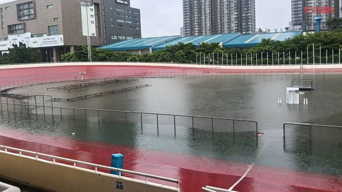
Nonthaburi Temple Uses Sandbags Against Chao Phraya Flood
Nonthaburi Province is experiencing rising Chao Phraya River waters that have begun flooding temple grounds, roads, and a local lane. Officials have placed sandbag barriers at the temple entrance, while residents wade through flooded streets and vehicles are immobilized. Authorities warn that additional water releases from the Irrigation Department could worsen the situation.
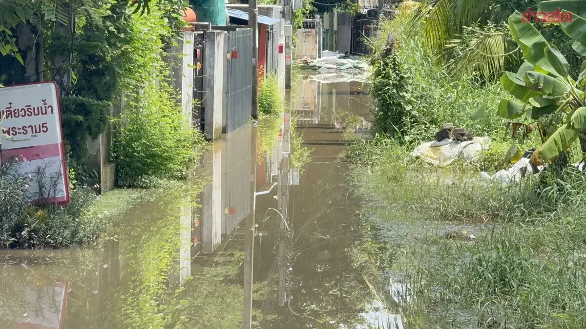
Nonthaburi is on edge again as communities along the Chao Phraya River face flooding. The temple has mobilized sandbags to build a barrier. If the Irrigation Department diverts more water, the Chao Phraya could overflow further. On October 1, 2026, reporters surveyed flood‑prone areas in Nonthaburi Province. At the rear of Tamnak Temple in Tha Sai sub‑district, Mueang District, water has begun to spill into parts of the temple grounds, though not yet deep, prompting the temple to place sandbag barriers at entrances and exits. Meanwhile, at the U‑turn spot under Rama 5 Bridge on the Bang Sri Mueang side, water is seen seeping onto the road; this area floods heavily each year when the river rises because it lies adjacent to the Chao Phraya. In Narinthrung Soi in Bang Pho sub‑district, the entire lane is now inundated, forcing residents to wade through water and making vehicle passage impossible. The river level is nearly at the concrete embankment crest, and additional water releases from the Irrigation Department could cause widespread flooding along the riverbanks.