Bangkok Warns of Flooding on 31 Roads Across Capital
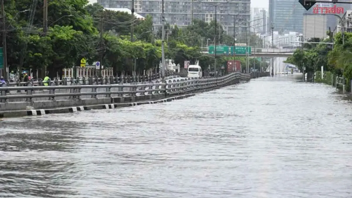
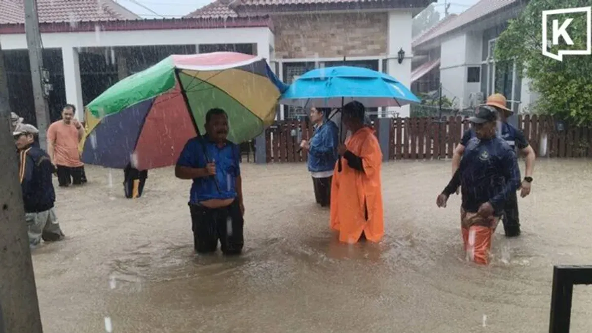
Bangkok authorities have closed 31 roads across the capital due to flooding with water depths reaching 20 centimetres or more, affecting northern, eastern and central areas as of September 27.
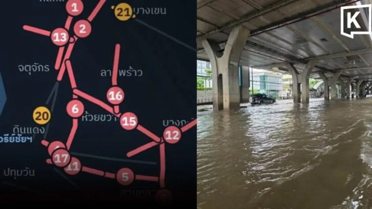
Bangkok authorities have advised motorists to avoid 31 roads affected by flooding, with water levels of up to 20 centimetres or more reported at several locations across the capital. The Bangkok Metropolitan Administration released data from its road-flood monitoring sensor system at 08:40 on 27 September 2026, showing widespread flooding across northern, eastern and central parts of Bangkok.
Affected roads include Ram Inthra Road around Soi Ram Inthra 5–13/1 in Bang Khen, Phahon Yothin Road between Soi Phahon Yothin 51 and Phalasinth Road near Kasetsart University, Thep Rak Road around Big C Saphan Mai, Watcharapol Road around Soi Watcharapol 8 and Soi Watcharapol 1/9, and Chaeng Watthana Road near Phranakhon Rajabhat University. Water levels reached at least 20 centimetres at most locations, with some roads experiencing depths of 15 centimetres or more. Other heavily affected routes include Nawamin Road, Ramkhamhaeng Road, Srinakarin Road, Vibhavadi Rangsit Road, Chao Khun Thahan Road, Chok Chai 4 Road, Lat Phrao Road, and Sukhumvit 71 Road, among others monitored by the authority's sensor system.