Disaster Agency Coordinates Response to Rising Chao Phraya Levels
The Chao Phraya Dam will discharge 700–1,000 cubic metres of water per second on September 27, raising water levels in low-lying areas outside protective embankments across six Ayutthaya districts by up to 1.50 metres. Authorities have aler
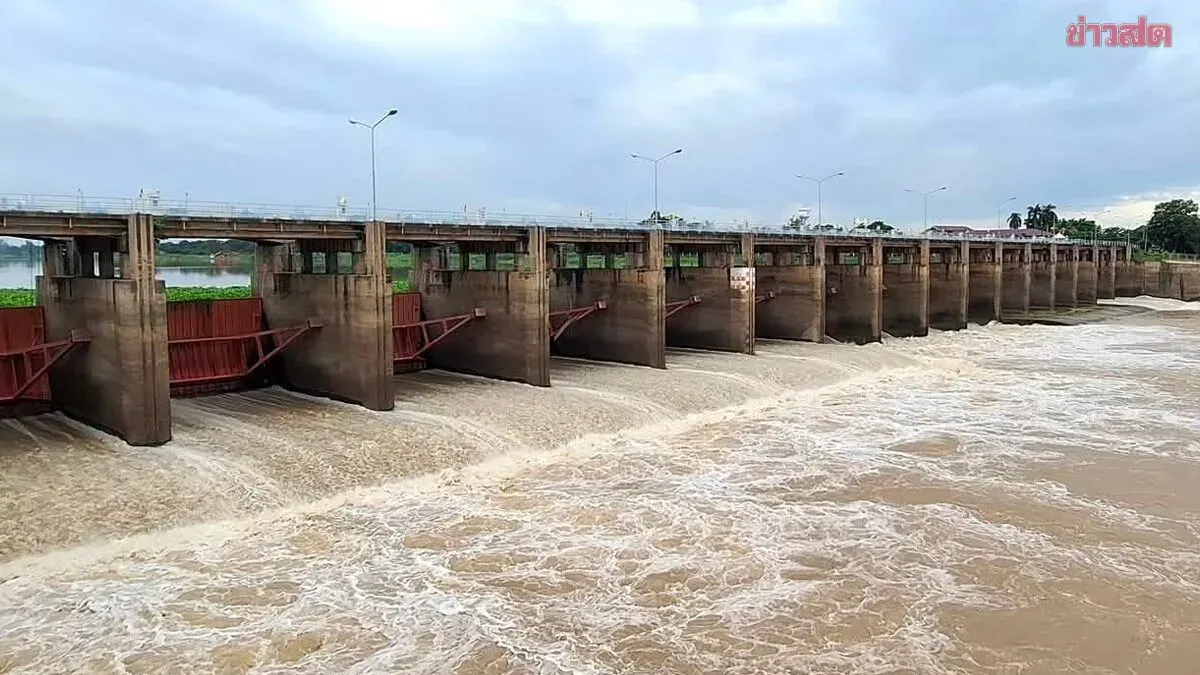
Theeraphatt Katchamati, director-general of the Department of Disaster Prevention and Mitigation, said the Central Disaster Prevention and Mitigation Operations Centre has received forecasts from the Irrigation Department indicating water flow of approximately 1,100–1,250 cubic metres per second will pass through the C.2 station in Nakhon Sawan on September 27, plus 50–100 cubic metres per second from tributary streams. This will bring total inflow to the Chao Phraya Dam to between 1,150–1,350 cubic metres per second, with irrigation intake at 400–450 cubic metres per second on both sides. As a result, dam operators must discharge 700–1,000 cubic metres per second, causing water levels in low-lying areas outside protective embankments to rise 0.60–1.50 metres. Affected districts in Ayutthaya province include Sena, Phahai, Bang Baan, Phra Nakhon Si Ayutthaya, Bang Pa-in, and Bang Thai, though communities within protective dykes should not be impacted.
The operations centre has coordinated with 10 provinces—Uthai Thani, Chai Nat, Sing Buri, Ang Thong, Suphan Buri, Phra Nakhon Si Ayutthaya, Lop Buri, Pathum Thani, Nonthaburi, and Samut Prakan—as well as Bangkok, instructing relevant agencies, private businesses operating on the river such as construction firms and restaurants, and riverside residents to monitor water levels closely and prepare for potential flooding.