Phoenix Drones Aid Kampheng Phet Flood Relief Operations
Phoenix drones are helping rescue teams reach flood victims in Kampheng Phet by providing real-time aerial mapping, guiding boats through dangerous waters, and delivering supplies to isolated survivors.
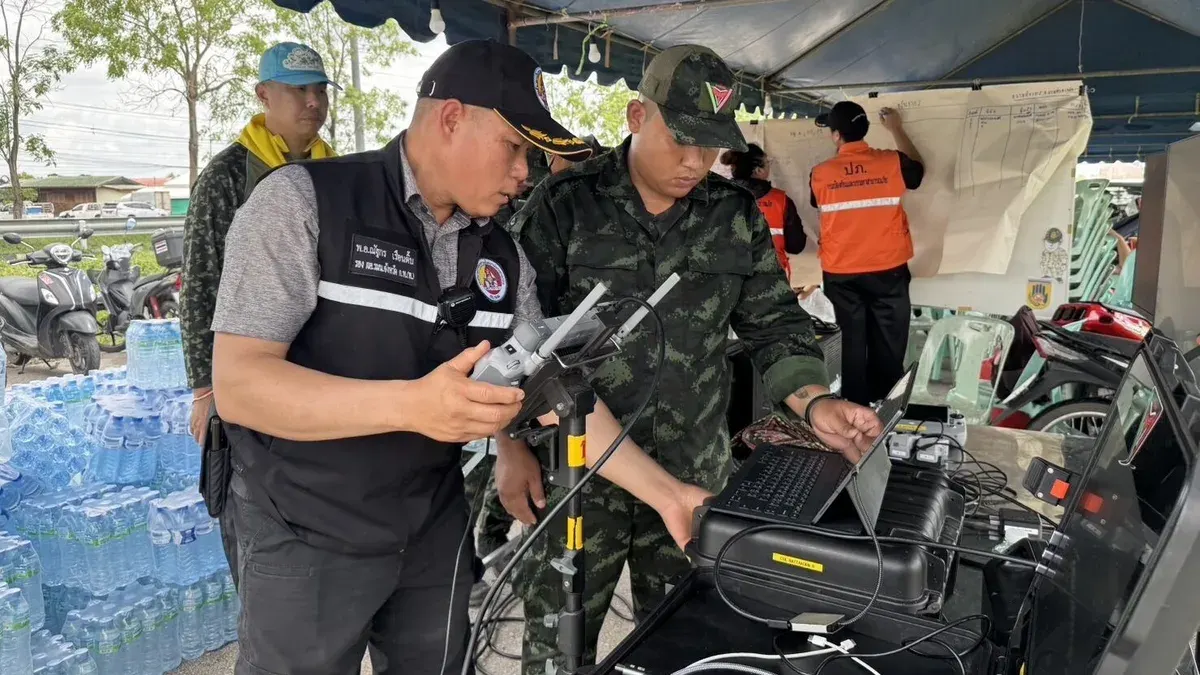
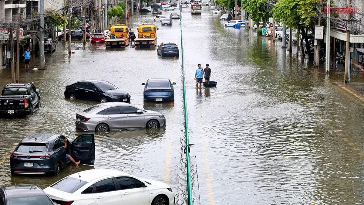
The Kampheng Phet Provincial Internal Security Command, in coordination with the Phoenix drone team from Naresuan Force, the 14th Infantry Regiment's civil affairs division, and Disaster Prevention and Mitigation Office Region 8, has mobilized to monitor flooding in Muang Kampheng Phet district using unmanned aerial vehicle technology to assess conditions and assist residents quickly and safely.
The drones conduct high-altitude surveys of flood-affected areas to evaluate impact levels, identify risk zones, determine water flow direction, and map access routes. This real-time data supports emergency response planning. Operating in both daylight and darkness, the drones are fitted with loudspeakers and searchlights to broadcast information, reduce panic, build confidence, and encourage flood victims.
The Phoenix drone team also guides rescue boats from the disaster relief office to affected areas by providing aerial reconnaissance data, enabling rescue crews to navigate precisely and safely despite changing water conditions and terrain. Larger unmanned aircraft deliver water, food, and medicine to isolated survivors unreachable by conventional boats or vehicles.
The integrated effort among security, military, and disaster management agencies demonstrates comprehensive deployment of drone technology—surveillance, area mapping, risk assessment, survivor communication, rescue coordination, and supply delivery—to enable efficient, rapid, targeted, and safe assistance during the flooding crisis.