Weather Alert: Heavy Rain Warning for 57 Thai Provinces
Heavy rains are forecast across 57 Thai provinces from September 9-13 as a monsoon trough and cold air mass bring downpours to the Northeast, North, central region, and South, with flash flooding and landslides possible in low-lying areas a
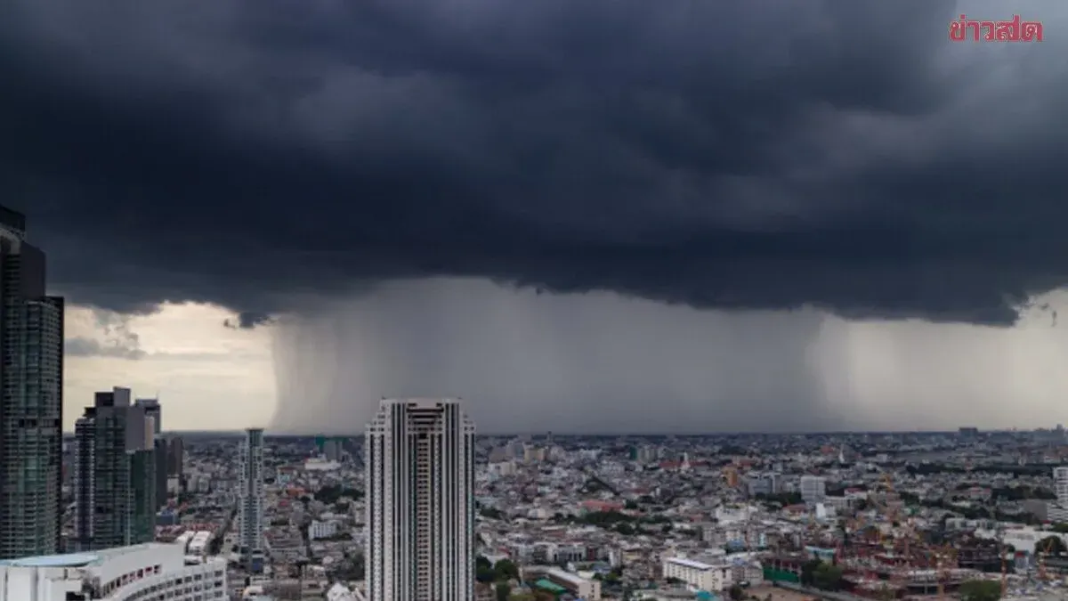
On September 9, 2025, the Meteorological Department forecasts heavy to very heavy rain in parts of Thailand over the next 24 hours, beginning in the Northeast and North before spreading to the central region, Bangkok and its vicinity, the East, and the South. A cold air mass and monsoon trough moving down from Vietnam and Laos will trigger a southwesterly monsoon affecting the Andaman Sea, Thailand, and the Gulf of Thailand. Between September 10–13, the trough will shift south toward the lower central region, lower Northeast, and East as it approaches a developing low-pressure system in the central South China Sea.
The public is urged to stay alert for dangers from heavy and accumulated rainfall, which may cause flash flooding and landslides, especially in the Mekong River basin, foothills, and low-lying areas. Travel on flood-prone routes should be avoided, particularly in low-lying areas prone to short-term flooding. Waves in the Andaman Sea and Gulf of Thailand are moderate, with the upper Andaman Sea reaching about 2 meters, rising above 2 meters during thunderstorms. Fishermen are advised to navigate cautiously and avoid areas of thunderstorm activity.
Regional breakdown: The North faces 70 percent thunderstorm coverage with heavy rain in Mae Hong Son, Chiang Mai, Chiang Rai, Phayao, Nan, Sukhothai, Uttaradit, Tak, Kamphaeng Phet, and Phichit, with very heavy rain possible in Phitsanulok and Phetchabun. Lows of 22–28 degrees Celsius, highs of 32–37 degrees Celsius, variable winds 10–20 kph.
The Northeast faces 70 percent thunderstorm coverage with heavy rain across Loei, Nong Khai, Nong Bua Lamphu, Udon Thani, Chaiyaphum, Kalasin, Nakhon Ratchasima, Buriram, Surin, and Sisaket, with very heavy rain possible in Bueng Kan, Sakon Nakhon, Nakhon Phanom, Khon Kaen, Maha Sarakham, Mukdahan, Roi Et, Yasothon, Amnat Charoen, and Ubon Ratchathani. Lows of 23–25 degrees Celsius, highs of 29–34 degrees Celsius, variable winds 10–20 kph.
The Central region faces 60 percent thunderstorm coverage with heavy rain in Nakhon Sawan, Uthai Thani, Ayutthaya, Lopburi, Saraburi, Kanchanaburi, Ratchaburi, Nakhon Pathom, Samut Songkhram, and Samut Sakhon. Lows of 23–26 degrees Celsius, highs of 34–36 degrees Celsius, southwest winds 10–20 kph.
The East faces 60 percent thunderstorm coverage with heavy rain in Nakhon Nayok, Prachuap Khiri Khan, Sa Kaew, Chanthaburi, and Trat. Lows of 24–27 degrees Celsius, highs of 31–35 degrees Celsius, southwest winds 15–35 kph. Waves are 1–2 meters, exceeding 2 meters in thunderstorm zones. Between September 11–13, the low-pressure system is expected to intensify into a tropical storm; the public should continue monitoring forecasts.