Thailand's Meteorological Department Issues Flash Flood Warning for 35 Provinces
Thailand's Meteorological Department warns of flash flood risks across 35 provinces as heavy showers persist despite overall rainfall decreasing, with northern, central, and eastern regions most vulnerable to flooding and landslides over th
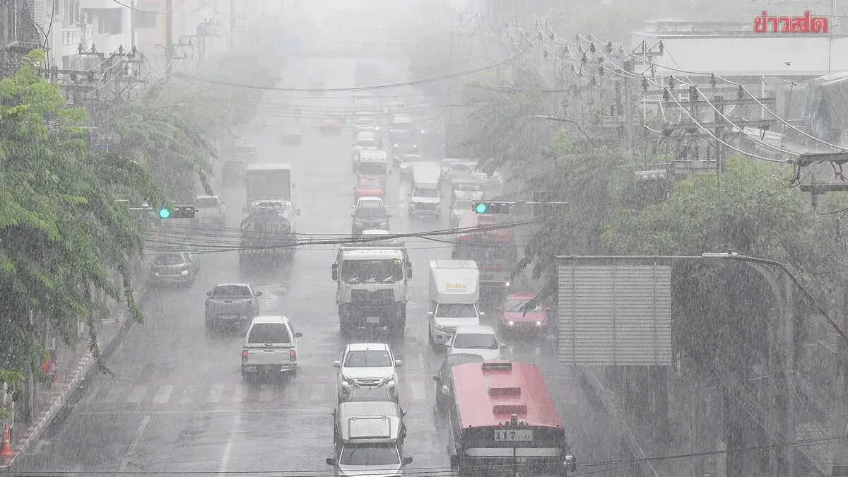
Thailand's Meteorological Department reported on September 29, 2025, that rainfall is decreasing across the country but heavy showers remain in 35 provinces, with thunderstorms affecting 60 percent of Bangkok and surrounding areas. Forecasters predict that over the next 24 hours, rainfall will continue to decrease, though heavy showers will persist, especially in the western North, central, and eastern regions.
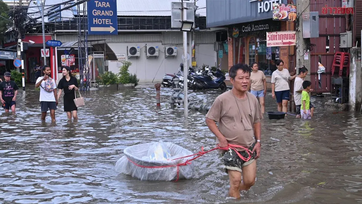
The public, particularly in the northern, western central, and eastern coastal areas, should remain alert for dangers from heavy and accumulated rainfall, which may cause flash floods, flooding, overflow, flash floods, and landslides—especially in hilly areas near water drainage and in low-lying zones. Travel through flood-prone areas, particularly low-lying zones prone to short-term water accumulation, should be avoided.
A low-pressure system over the Andaman Sea has shifted northwest toward Myanmar's coast. The southwest monsoon remains moderately strong over the Andaman Sea, southern Thailand, and the Gulf of Thailand, which is weakening. Seas in the upper Andaman and northern Gulf of Thailand show moderate wave heights of approximately 2 meters; thunderstorm areas experience waves exceeding 3 meters. Fishermen in the Andaman Sea and Gulf of Thailand are advised to navigate cautiously and avoid areas with thunderstorms.
Regional forecasts from 6:00 a.m. today through 6:00 a.m. tomorrow:
North: 60 percent thunderstorm coverage with heavy showers in Mae Hong Son, Chiang Mai, Chiang Rai, Lampun, Lampang, Phrae, Sukhothai, and Tak provinces. Lows 22–25°C, highs 29–34°C. East winds 10–20 km/h.
Northeast: 40 percent thunderstorm coverage mainly in Loei, Chaiyaphum, Nakhon Ratchasima, and Buriram. Lows 23–24°C, highs 30–34°C. East winds 10–20 km/h.
Central: 60 percent thunderstorm coverage with heavy showers in Nakhon Sawan, Uthai Thani, Suphan Buri, Kanchanaburi, and Ratchaburi. Lows 22–25°C, highs 31–34°C. South winds 10–20 km/h.
East: 60 percent thunderstorm coverage with heavy showers in Nakhon Nayok, Prachuap Khiri Khan, Chachoengsao, Rayong, Chanthaburi, and Trat. Lows 22–25°C, highs 29–33°C. Southwest winds 20–35 km/h. Seas approximately 2 meters; over 3 meters in thunderstorm areas.
South (East Coast): 60 percent thunderstorm coverage mainly in Prachuap Khiri Khan, Chumphon, Surat Thani, Nakhon Si Thammarat, Songkhla, Pattani, Yala, and Narathiwat. Lows 22–25°C, highs 31–36°C. From Surat Thani northward: southwest winds 20–35 km/h, seas approximately 2 meters, over 3 meters in thunderstorm areas. From Nakhon Si Thammarat southward: southwest winds 15–35 km/h, seas 1–2 meters, over 3 meters in thunderstorm areas.
South (West Coast): 60 percent thunderstorm coverage with heavy showers in Ranong, Phang Nga, and Phuket. Lows 23–26°C, highs 31–36°C. From Ranong northward: southwest winds continue with hazardous sea conditions in thunderstorm zones.